
General Information
| Completion: | 1950 |
|---|---|
| Status: | in use |
Project Type
| Function / usage: |
Flood-control dam |
|---|---|
| Material: |
Concrete dam |
Location
| Location: |
KwaZulu-Natal, South Africa |
|---|---|
| Coordinates: | 28° 30' 6.03" S 29° 44' 17.63" E |
Technical Information
Dimensions
| height | 17 m | |
| reservoir capacity | 772 000 m³ |
Excerpt from Wikipedia
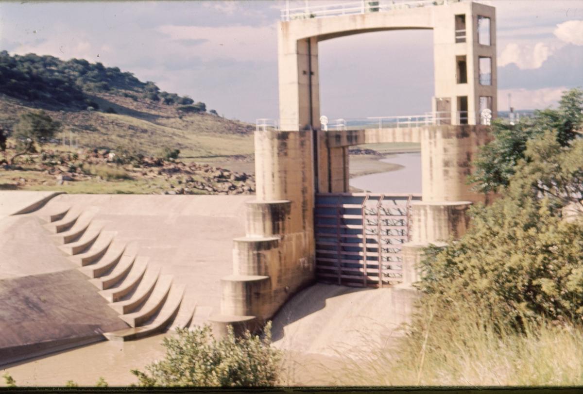
Windsor Dam was originally build to control flooding of Ladysmith, in KwaZulu-Natal by the Klip River, but silt buildup quickly reduced its efficiency. The Windsor Dam was commissioned in 1950, has a capacity of 772 cubic metres (27,300 cu ft), and a surface area of 0.826 square kilometres (0.319 sq mi), the dam wall is 17 metres (56 ft) high.
The Qedusizi Dam further downstream in the Klip River was completed in 1997 to take over the task of flood management.
Text imported from Wikipedia article "Windsor Dam" and modified on 23 July 2019 under the CC-BY-SA 3.0 license.
Participants
Currently there is no information available about persons or companies having participated in this project.
Relevant Web Sites

- About this
data sheet - Structure-ID
20049326 - Published on:
02/12/2009 - Last updated on:
03/12/2015
Structurae cooperates with


