

General Information
Project Type
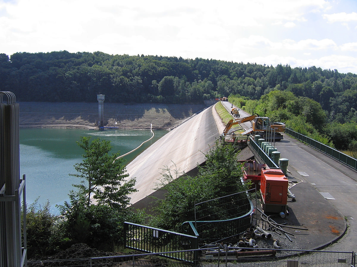
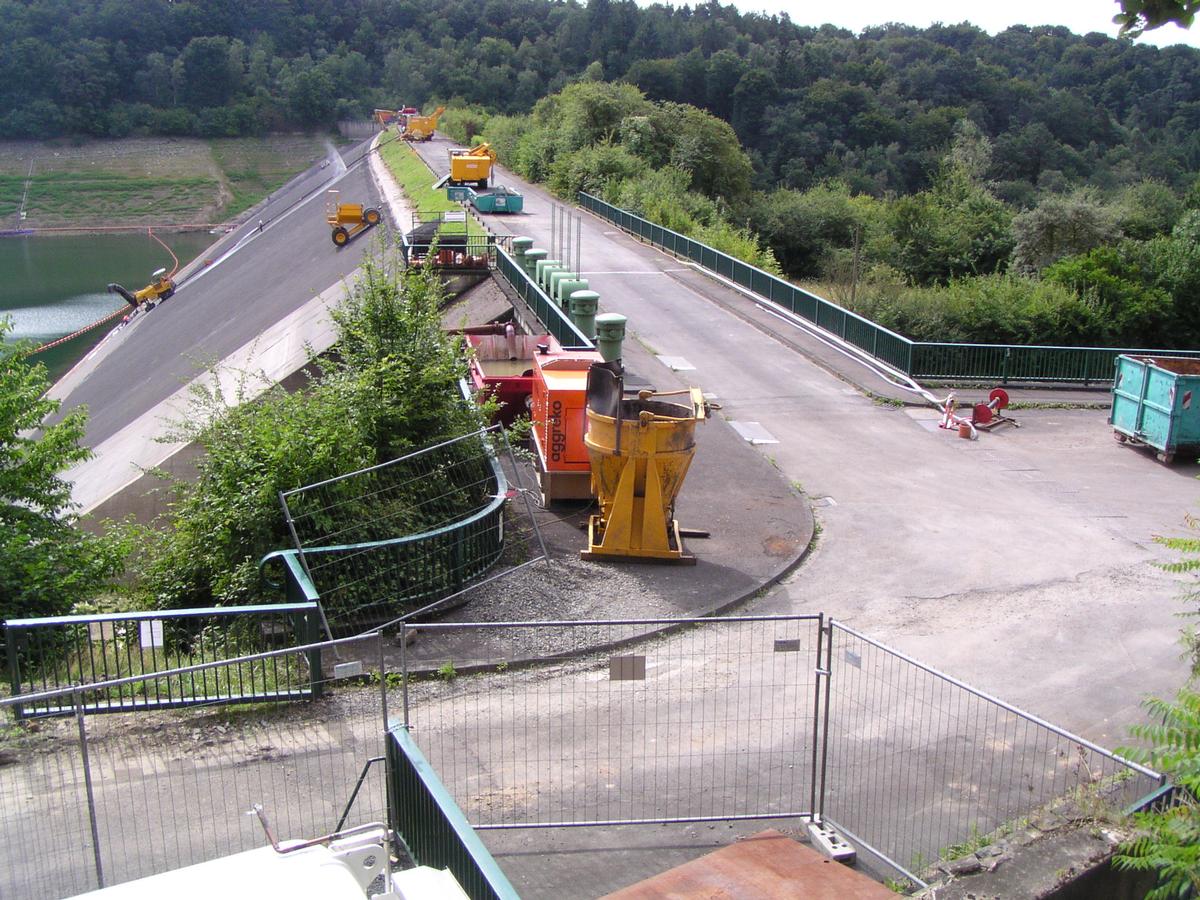
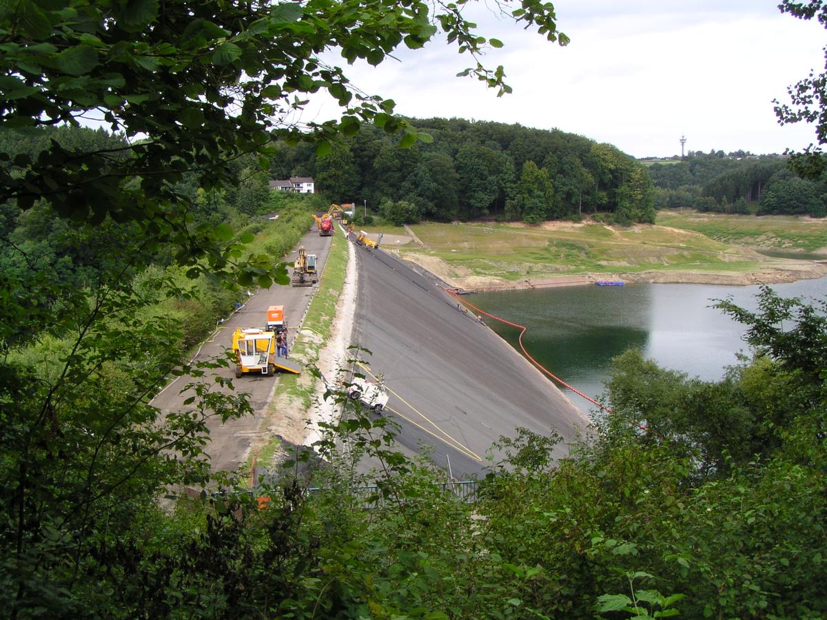
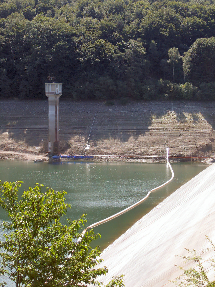
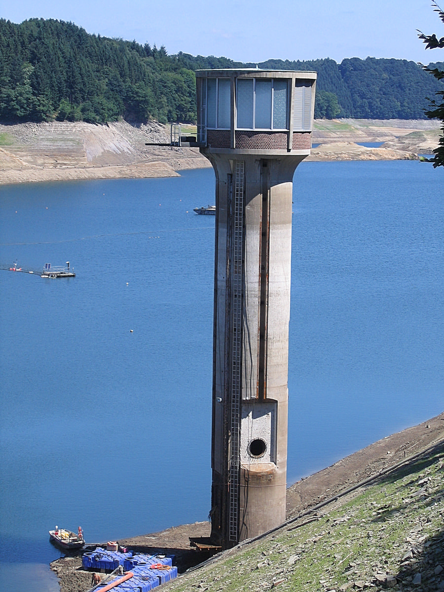
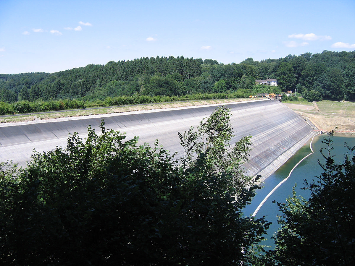
| Structure: |
Concrete-face rockfill dam |
|---|---|
| Function / usage: |
Fresh water dam |
Location
| Location: |
Siegburg, Rhein-Sieg-Kreis, North Rhine-Westphalia, Germany |
|---|---|
| Near: |
Derenbach Bridge (1927)
|
| Coordinates: | 50° 48' 17.47" N 7° 17' 3.06" E |
Technical Information
Dimensions
| height | 52.50 m | |
| retained water volume | 43 180 000 m³ | |
| crest length | 379 m | |
| crest thickness | 7.55 m | |
| dam volume | 1 020 000 m³ |
Participants
Currently there is no information available about persons or companies having participated in this project.
Relevant Web Sites
There currently are no relevant websites listed.
- About this
data sheet - Structure-ID
20020847 - Published on:
21/04/2006 - Last updated on:
14/02/2018
Structurae cooperates with


