
General Information
Project Type
| Structure: |
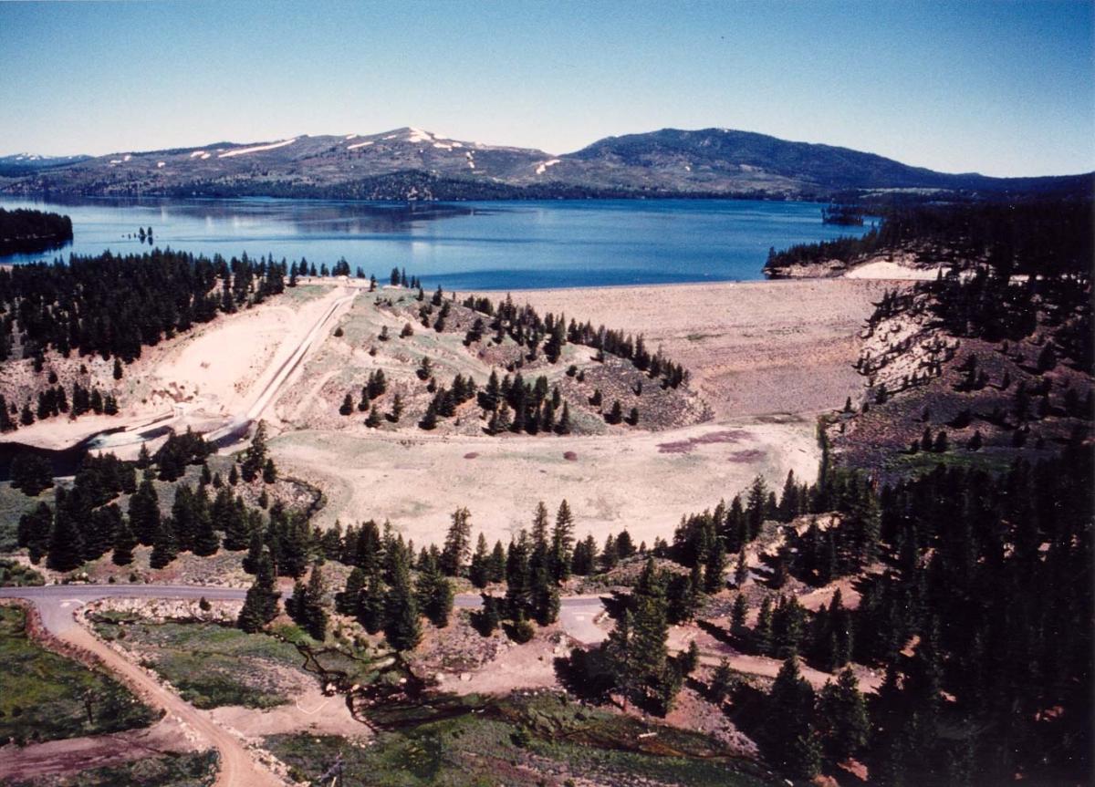
Earth- and rockfill dam |
|---|
Location
| Location: |
Placer County, California, USA |
|---|---|
| Coordinates: | 39° 28' 29.66" N 120° 6' 13.72" W |
Technical Information
Dimensions
| height | 72.8 m | |
| crest length | 460.6 m |
Excerpt from Wikipedia
Stampede Dam (National ID # CA10192) is a dam in Sierra County, California, impounding the Little Truckee River.
The earthen and rock-filled dam was constructed in 1970, at 239 feet high and 1,511 feet long at the crest. It was a project of the United States Bureau of Reclamation, not primarily for flood control or irrigation storage as usual, but for fishery enhancement, primarily to facilitate the spawning of the critically endangered species cui-ui fish downstream. The dam is owned and operated by the Bureau.
The reservoir it creates, Stampede Reservoir, has a water surface of about 3,340 acres and about 25 miles of shoreline, with a maximum capacity of 226,500 acre-feet. Recreation includes fishing (for kokanee salmon, rainbow, brook, brown and lake (mackinaw) trout, etc.), hunting, boating, camping and hiking. There is an accessible viewing platform at Stampede Vista Point.
Text imported from Wikipedia article "Stampede Dam" and modified on 4 April 2022 according to the CC-BY-SA 3.0 license.
Participants
Currently there is no information available about persons or companies having participated in this project.
Relevant Web Sites

- About this
data sheet - Structure-ID
20050397 - Published on:
13/12/2009 - Last updated on:
30/03/2022
Structurae cooperates with


