
General Information
| Completion: | 15 July 1986 |
|---|---|
| Status: | in use |
Project Type
| Function / usage: |
Grade-level metro or light rail station |
|---|
Location
| Location: |
Santiago de Chile, Santiago, Santiago, Chile |
|---|---|
| Part of: | |
| Coordinates: | 33° 26' 17.52" S 70° 39' 35.64" W |
Technical Information
There currently is no technical data available.
Excerpt from Wikipedia
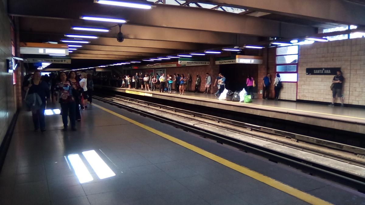
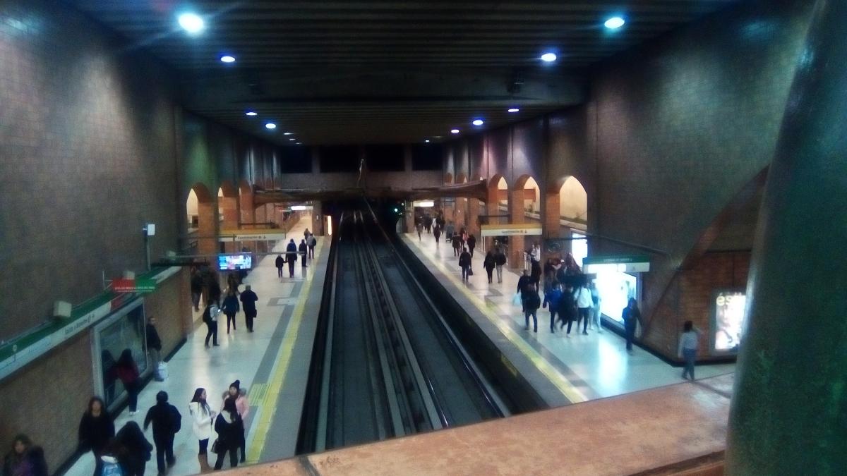
Santa Ana is a transfer station between Line 2 and Line 5 of the Santiago Metro. It was initially a single-line station on Line 2, subsequently in 1998, the station began to be adapted to become a transfer station, as a part of the extension of Line 5 from Baquedano metro station to Santa Ana station, in which the New Austrian Tunnelling method was used.
The older portion of the station occupies part of the central reservation of the Autopista Central, which is sunken. Two street-level mezzanines at the northern and southern extremes of the station are connected with bridges traversing the highway.
The station receives its name from the nearby Santa Ana church.
Text imported from Wikipedia article "Santa Ana metro station"
and modified on 23 July 2019 under the CC-BY-SA 3.0 license.
Participants
Currently there is no information available about persons or companies having participated in this project.
Relevant Web Sites

- About this
data sheet - Structure-ID
20053325 - Published on:
19/02/2010 - Last updated on:
16/02/2022
Structurae cooperates with


