
General Information
Project Type
| Function / usage: |
Fortress |
|---|
Location
| Location: |
Salses-le-Château, Pyrénées-Orientales (66), Occitanie, France |
|---|---|
| Coordinates: | 42° 50' 23" N 2° 55' 6" E |
Technical Information
There currently is no technical data available.
Excerpt from Wikipedia
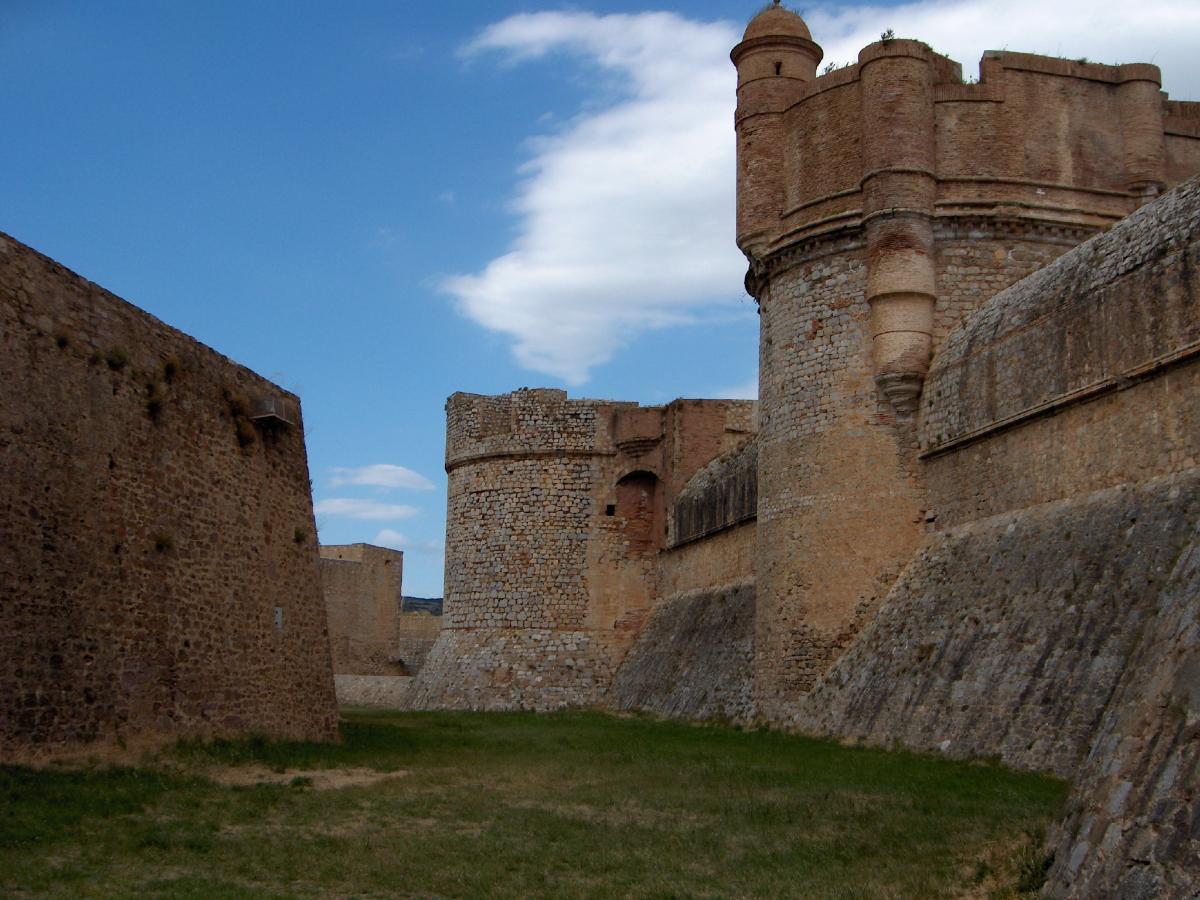
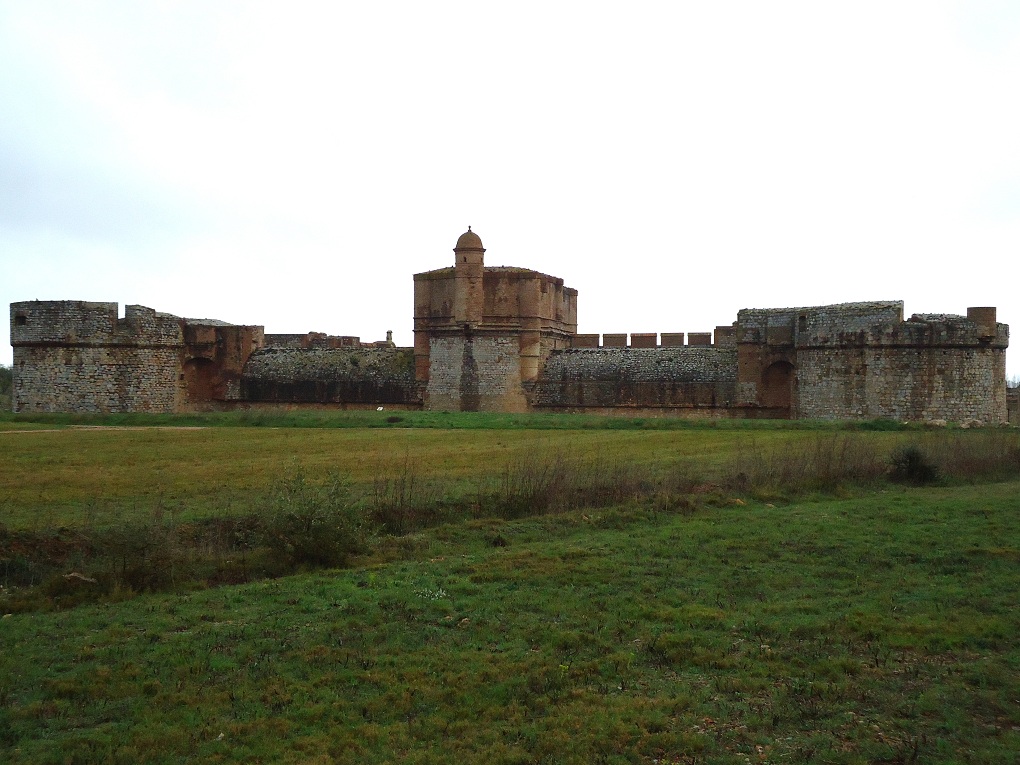
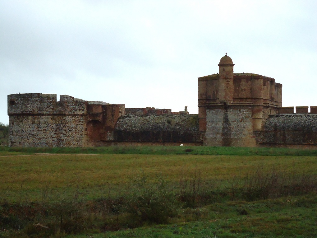
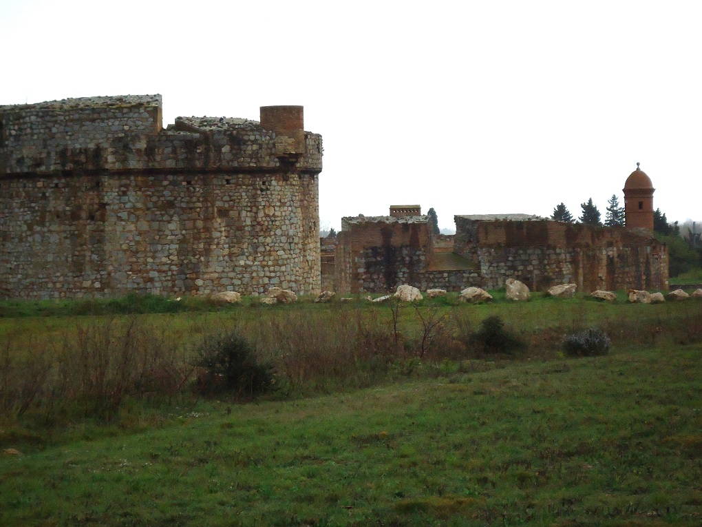
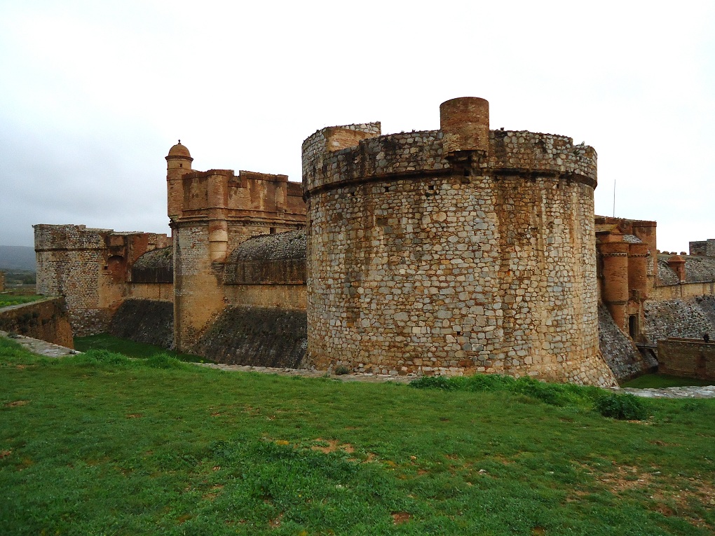
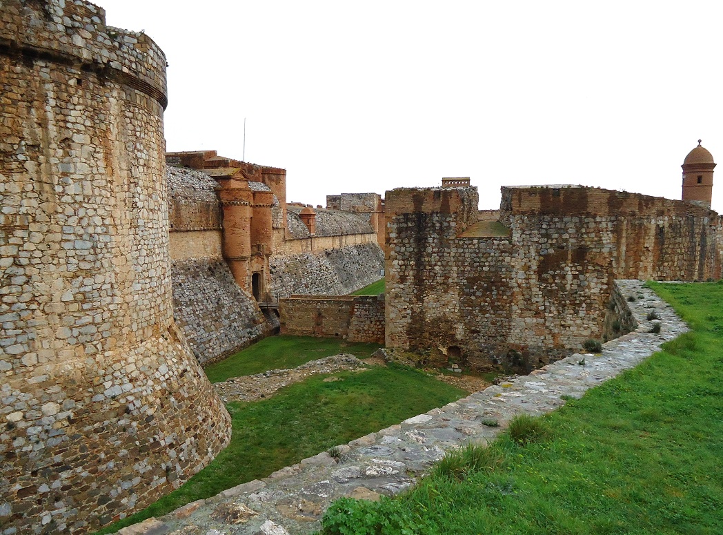
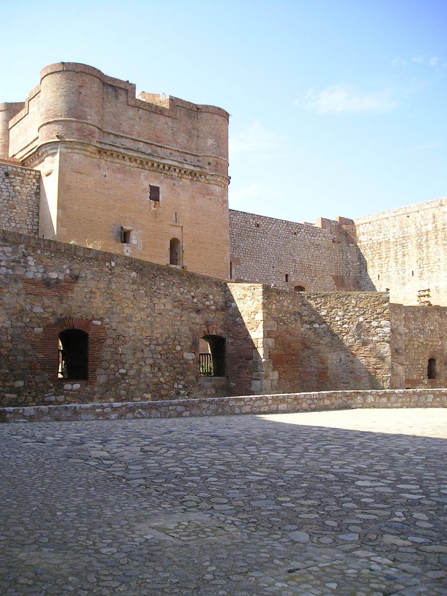
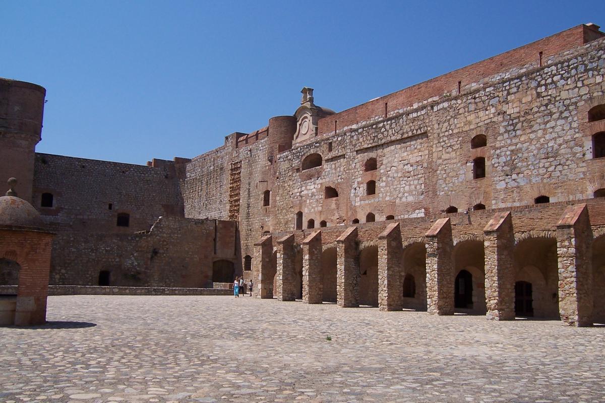
The Fort de Salses (also called Forteresse de Salses) is a Catalan fortress in the commune of Salses-le-Château, situated in the French département of Pyrénées-Orientales. It is clearly visible from the A9 autoroute and it is possible to visit from the motorway rest area.
Built by the Catalans at the end of the 15th century, the fortress guarded the former frontier between Spain and France. Its layout and architecture, innovative for the time, present a rare example of the transition between medieval castle and the fortresses of the modern period. The fort was captured by the French in 1642, and remained French since the Treaty of the Pyrenees.
Fort de Salses is listed as a monument historique by the French Ministry of Culture, and is operated by the Centre des monuments nationaux. The fortress receives 100,000 visitors a year.
During the Spanish Civil War, the fort was used as a refuge.
Text imported from Wikipedia article "Fort de Salses" and modified on 23 July 2019 under the CC-BY-SA 3.0 license.
Participants
Currently there is no information available about persons or companies having participated in this project.
Relevant Web Sites


Relevant Publications
- (1954): Le château de Salses. Presented at: Congrès archéologique de France, CXII session, Le Roussillon, pp. 406-424.
- (1996): Le guide du Patrimoine: Languedoc, Roussilon. Ministère de la Culture, Hachette, Paris (France), ISBN 9782012423336, pp. 524-528.
- About this
data sheet - Structure-ID
20028403 - Published on:
09/06/2007 - Last updated on:
28/05/2021
Structurae cooperates with


