
General Information
| Status: | in use |
|---|
Project Type
| Function / usage: |
Railroad (railway) station |
|---|
Location
| Location: |
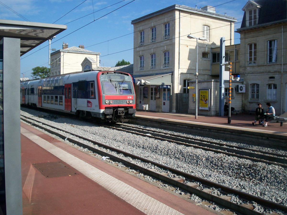
Pontoise, Val-d'Oise (95), Ile-de-France, France |
|---|---|
| Address: | Place du Général de Gaulle |
| Part of: | |
| Coordinates: | 49° 2' 48" N 2° 5' 43" E |
Technical Information
There currently is no technical data available.
Excerpt from Wikipedia
Pontoise is the train station serving the city of Pontoise and the surrounding suburbs. The station is a large building situated on Place Charles de Gaulle itself at the bottom end of Rue Thiers. Rue Thiers was built for the station and links Pontoise's Medieval centre to the railway.
The station was opened to link Paris to Dieppe, it is parallel to the line with a long footbridge stretching over the lines to the Canrobert bus station. Trains no longer serve Dieppe (now rerouted via Rouen) but is well served by regional trains (Transilien) to Paris St-Lazare and Paris Nord. Pontoise Station is also served by RER C which uses a new bridge built of the River Oise to increase capacity.
Text imported from Wikipedia article "Pontoise station" and modified on 02 June 2020 according to the CC-BY-SA 3.0 license.
Participants
Currently there is no information available about persons or companies having participated in this project.
Relevant Web Sites

- About this
data sheet - Structure-ID
20039756 - Published on:
18/09/2008 - Last updated on:
15/05/2015
Structurae cooperates with


