
General Information
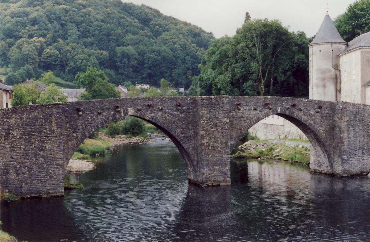
| Completion: | 12th century |
|---|---|
| Status: | in use |
Project Type
| Structure: |
Pointed arch bridge |
|---|---|
| Function / usage: |
Road bridge |
| Material: |
Masonry bridge |
Location
| Location: |
Brassac, Tarn (81), Occitanie, France |
|---|---|
| Crosses: |
|
| Coordinates: | 43° 37' 44.12" N 2° 29' 50.81" E |
Technical Information
Dimensions
| main span | 13.77 m | |
| total length | 52 m | |
| arch span | 3.95 m - 13.77 m - 13.20 m - 3.60 m | |
| number of arches | 4 | |
| arch width | 3.05 m | |
| roadway / carriageway width | 2.25 m | |
| piers | width | 5.75 m - 3.00 m - 5.90 m |
Chronology
| 1861 — 1867 | Widening. |
|---|
Notes
The Marquis de Brassac hid in a chamber contained in one of the piers during the French Revolution.
Participants
Currently there is no information available about persons or companies having participated in this project.
Relevant Web Sites
There currently are no relevant websites listed.
Relevant Publications
- (2001): Les plus beaux ponts de France. Bonneton, Paris (France), pp. 31.
- (1988): Les ponts monuments historiques. Inventaire - description - histoire. Editions Brissaud, Poitiers (France), pp. 366.
- About this
data sheet - Structure-ID
20002642 - Published on:
19/01/2002 - Last updated on:
28/05/2021
Structurae cooperates with


