
General Information
Project Type
| Structure: |
Earth- and rockfill dam |
|---|---|
| Function / usage: |
Hydroelectric dam / plant |
Location
| Location: |
Kossou, Yamoussoukro, Côte d'Ivoire |
|---|---|
| Impounds: |
|
| Coordinates: | 7° 1' 52.56" N 5° 28' 24.24" W |
Technical Information
Dimensions
| height | 58 m | |
| crest length | 1 500 m | |
| reservoir capacity | 27 675 000 m³ | |
| water surface area | 178 km² |
Excerpt from Wikipedia
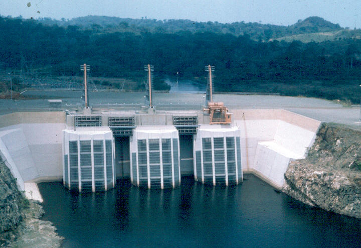
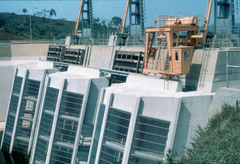
The Kossou Dam is an embankment dam the Bandama River about 32 kilometres (20 mi) northwest of Yamoussoukro in Côte d'Ivoire. It has a power generating capacity of 174 megawatts (233,000 hp), enough to power over 118,000 homes. The dam impounds the largest lake in Côte d'Ivoire, Lake Kossou.
Text imported from Wikipedia article "Kossou Dam" and modified on 23 July 2019 under the CC-BY-SA 3.0 license.
Participants
Currently there is no information available about persons or companies having participated in this project.
Relevant Web Sites

- About this
data sheet - Structure-ID
20012467 - Published on:
15/07/2004 - Last updated on:
02/04/2017
Structurae cooperates with


