
General Information
Project Type
| Structure: |
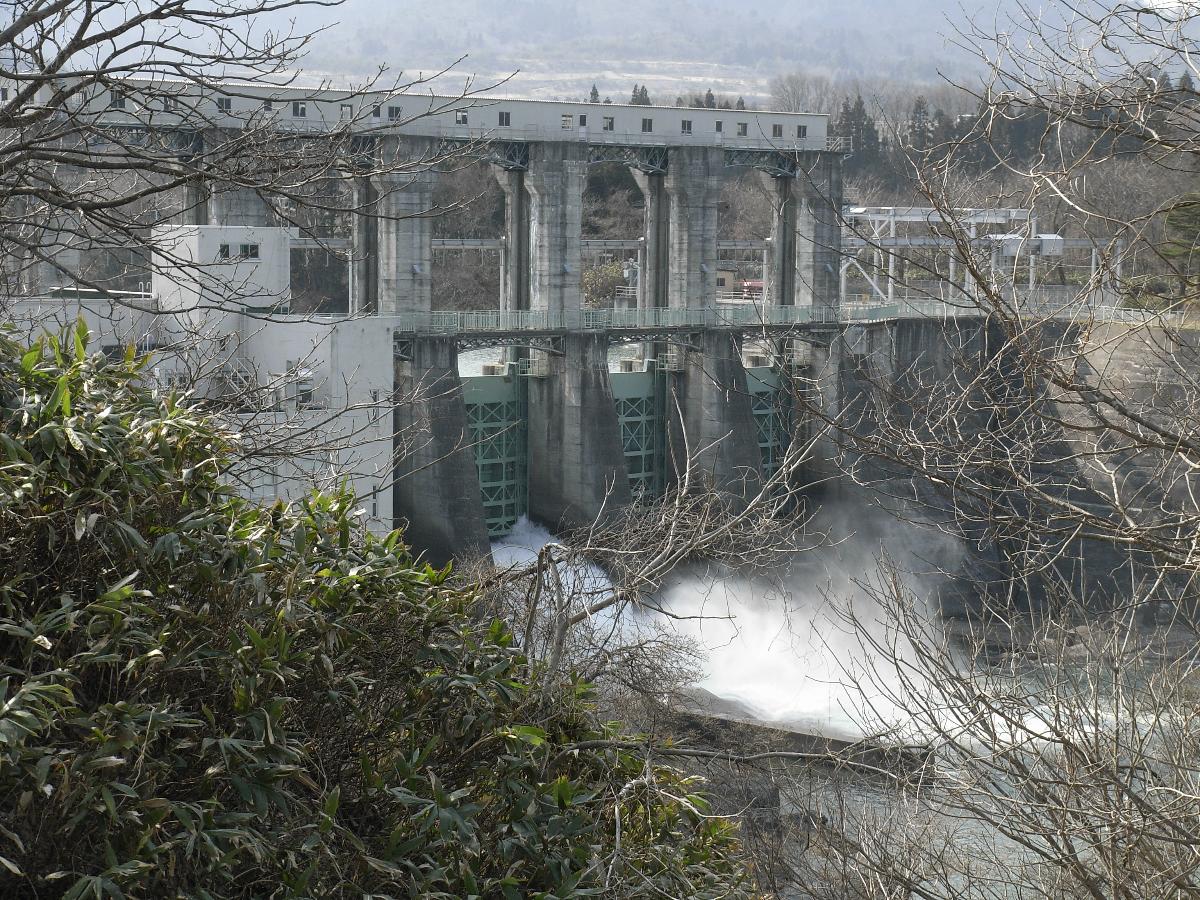
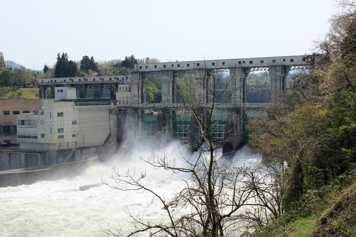
Gravity dam |
|---|---|
| Function / usage: |
Hydroelectric dam / plant |
| Material: |
Concrete dam |
Location
Technical Information
Dimensions
| height | 29 m | |
| crest length | 194.8 m | |
| reservoir capacity | 16 172 000 m³ | |
| dam volume | 34 000 m³ |
Excerpt from Wikipedia
Katakado Dam is a gravity dam on the Tadami River 5 km (3 mi) west of Aizubange in the Fukushima Prefecture of Japan. It was constructed between 1951 and 1953 for the purpose of hydroelectric power generation. It supplies a 57 MW power station with water.
Text imported from Wikipedia article "Katakado Dam"
and modified on 23 July 2019 under the CC-BY-SA 3.0 license.
Participants
Currently there is no information available about persons or companies having participated in this project.
Relevant Web Sites

- About this
data sheet - Structure-ID
20041452 - Published on:
18/12/2008 - Last updated on:
04/06/2023
Structurae cooperates with


