
General Information
| Completion: | 1944 |
|---|---|
| Status: | in use |
Project Type
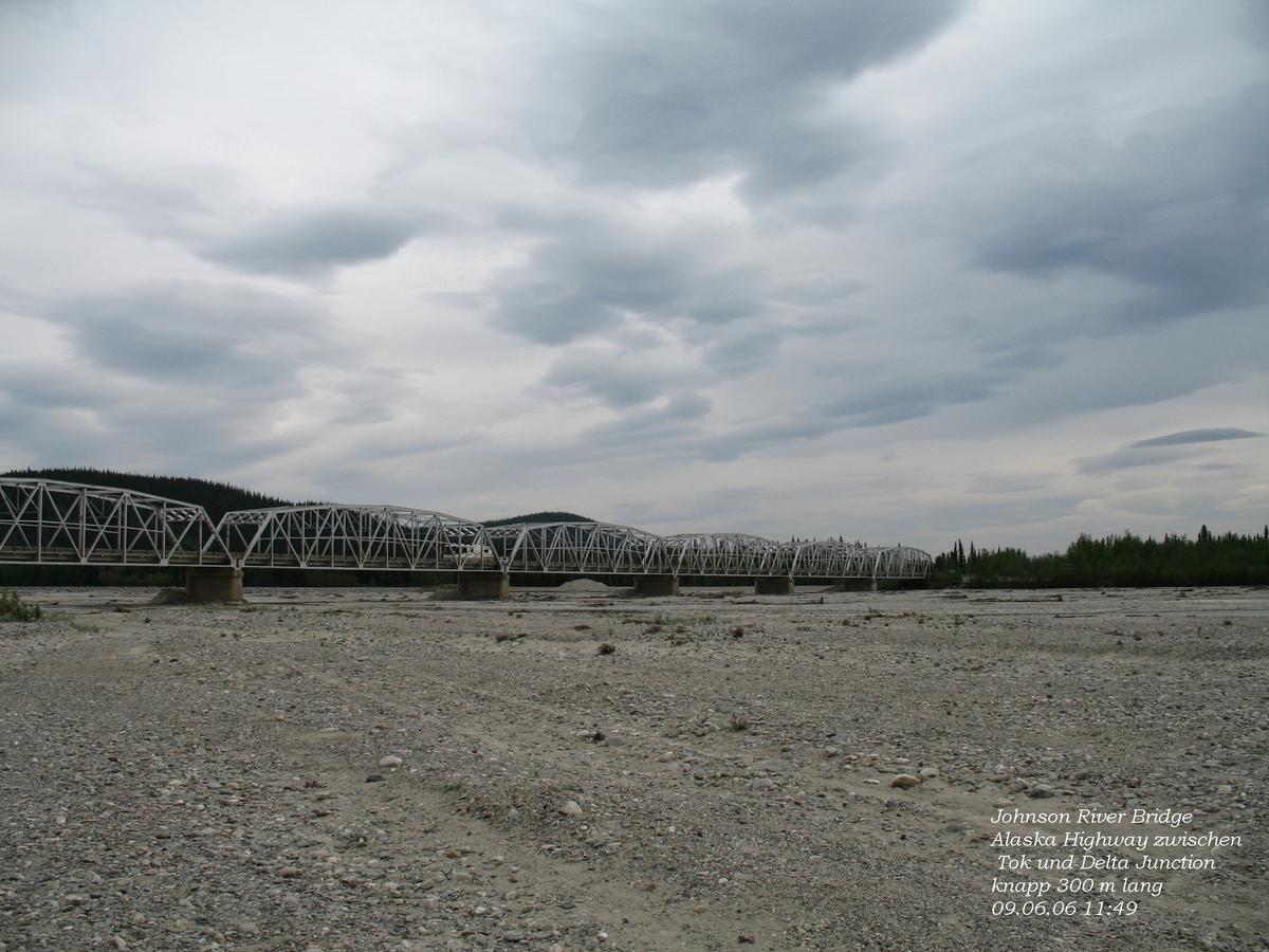
| Structure: |
Through truss bridge |
|---|---|
| Function / usage: |
Road bridge |
Location
| Location: |
Delta Junction, Southeast Fairbanks, Alaska, USA |
|---|---|
| Address: | Alaska Highway |
| Location description: |
Carries the Alaska Highway across the Johnson River |
| Coordinates: | 63° 42' 13.37" N 144° 38' 29.76" W |
Technical Information
Dimensions
| length | 295.66 m |
Participants
Currently there is no information available about persons or companies having participated in this project.
Relevant Web Sites
There currently are no relevant websites listed.
- About this
data sheet - Structure-ID
20028219 - Published on:
31/05/2007 - Last updated on:
05/02/2016
Structurae cooperates with


