

General Information
| Other name(s): | Big Clouds Creek Bridge; Howard Bridge |
|---|---|
| Completion: | 1905 |
| Status: | out of service |
Project Type
| Structure: |
Covered bridge Town lattice truss bridge Through truss bridge |
|---|---|
| Support conditions: |
for registered users |
| Function / usage: |
Road bridge |
| Material: |
Timber bridge |
| Plan view: |
Structurae Plus/Pro - Subscribe Now! |
Awards and Distinctions
| 1975 |
for registered users |
|---|
Location
| Location: |
Oglethorpe County, Georgia, USA |
|---|---|
| Crosses: |
|
| Coordinates: | 33° 59' 9.86" N 83° 7' 59.56" W |
Technical Information
Dimensions
| main span | 49.99 m | |
| total length | 51.2 m |
Materials
| truss |
wood
|
|---|
Excerpt from Wikipedia
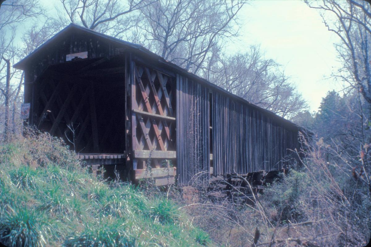
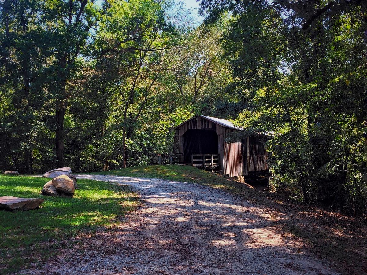
Howard's Covered Bridge is a historic covered bridge outside of Smithonia, Georgia in Oglethorpe County, Georgia. It was added to the National Register of Historic Places on July 1, 1975. The bridge is located 3 miles southeast of Smithonia on SR S2164. The bridge was built in 1905 in a Town lattice design and is 168 feet (51 m) long. The span travels over Big Clouds Creek. The site is marked by a historical marker posted by the Georgia Historical Society. The bridge was named for the pioneer family that settled in the area in the late 1700s. It was built with convict labor and is fastened with wooden trunnels. The timber used was transported on the Smithonia and Dunlap Railroad, connecting James Monroe Smith's farm with the Georgia Railroad at Dunlap, Georgia.
The site's historical marker is at the southern end of Chandler Silver Road at the intersection with Cloud's Creek Road, 1.3 miles west of the Cloud's Creek Baptist Church marker.
Text imported from Wikipedia article "Howard's Covered Bridge" and modified on 15 November 2021 according to the CC-BY-SA 3.0 license.
Participants
Currently there is no information available about persons or companies having participated in this project.
Relevant Web Sites

- About this
data sheet - Structure-ID
20007836 - Published on:
14/01/2003 - Last updated on:
26/12/2021
Structurae cooperates with


