
General Information
Project Type
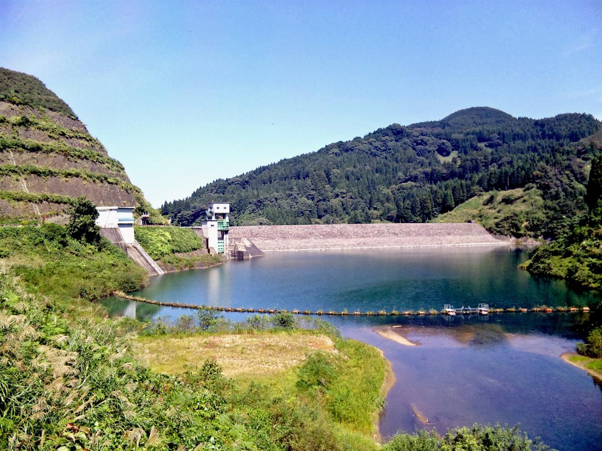
| Structure: |
Rockfill dam |
|---|---|
| Function / usage: |
Flood-control dam |
Location
Technical Information
Dimensions
| height | 58.5 m | |
| retained water volume | 1 350 000 m³ | |
| crest length | 219 m | |
| dam volume | 900 000 m³ | |
| water surface area | 100 000 m² |
Participants
Currently there is no information available about persons or companies having participated in this project.
Relevant Web Sites

- About this
data sheet - Structure-ID
20068490 - Published on:
16/01/2016 - Last updated on:
22/06/2023
Structurae cooperates with


