

General Information
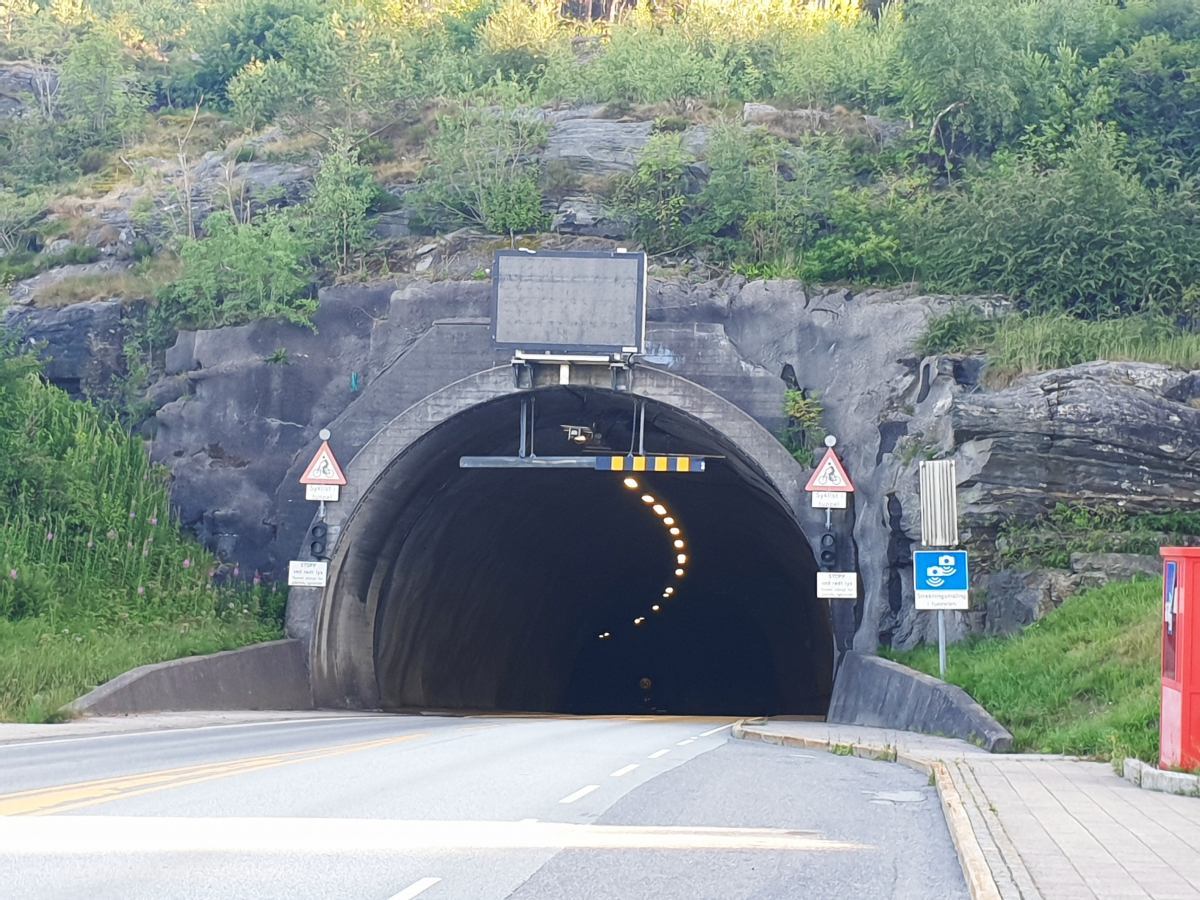
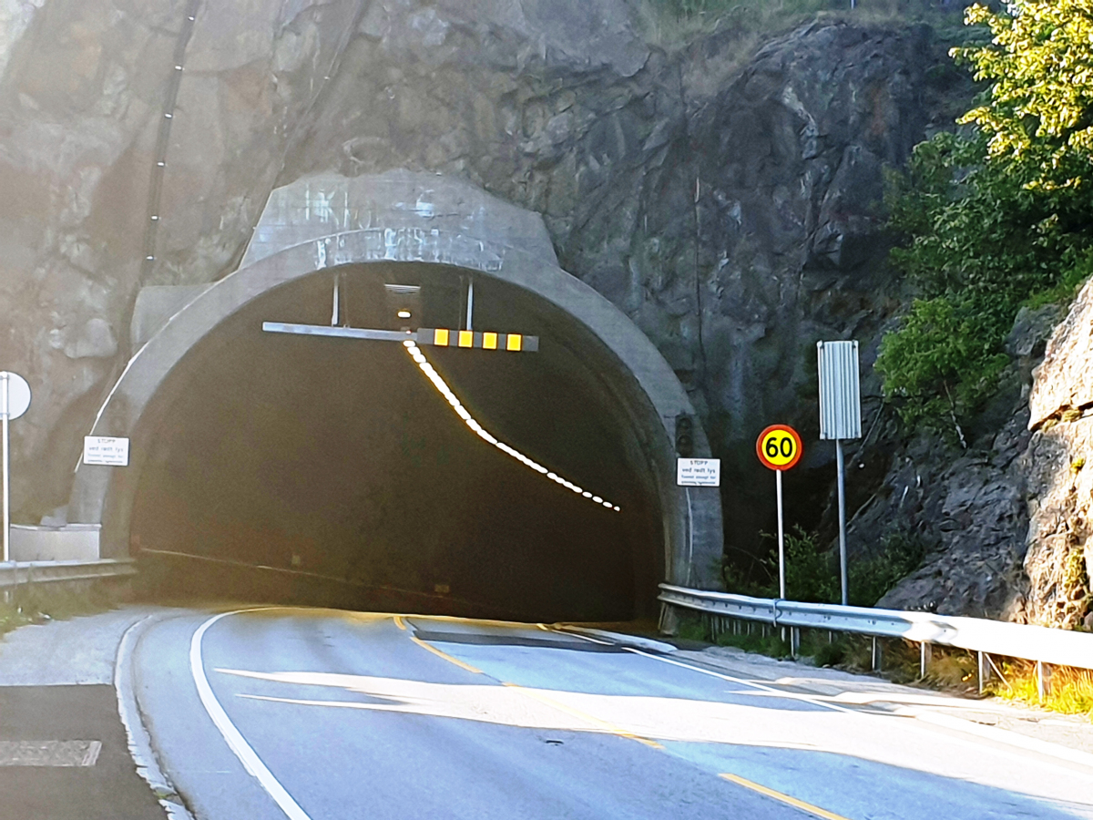
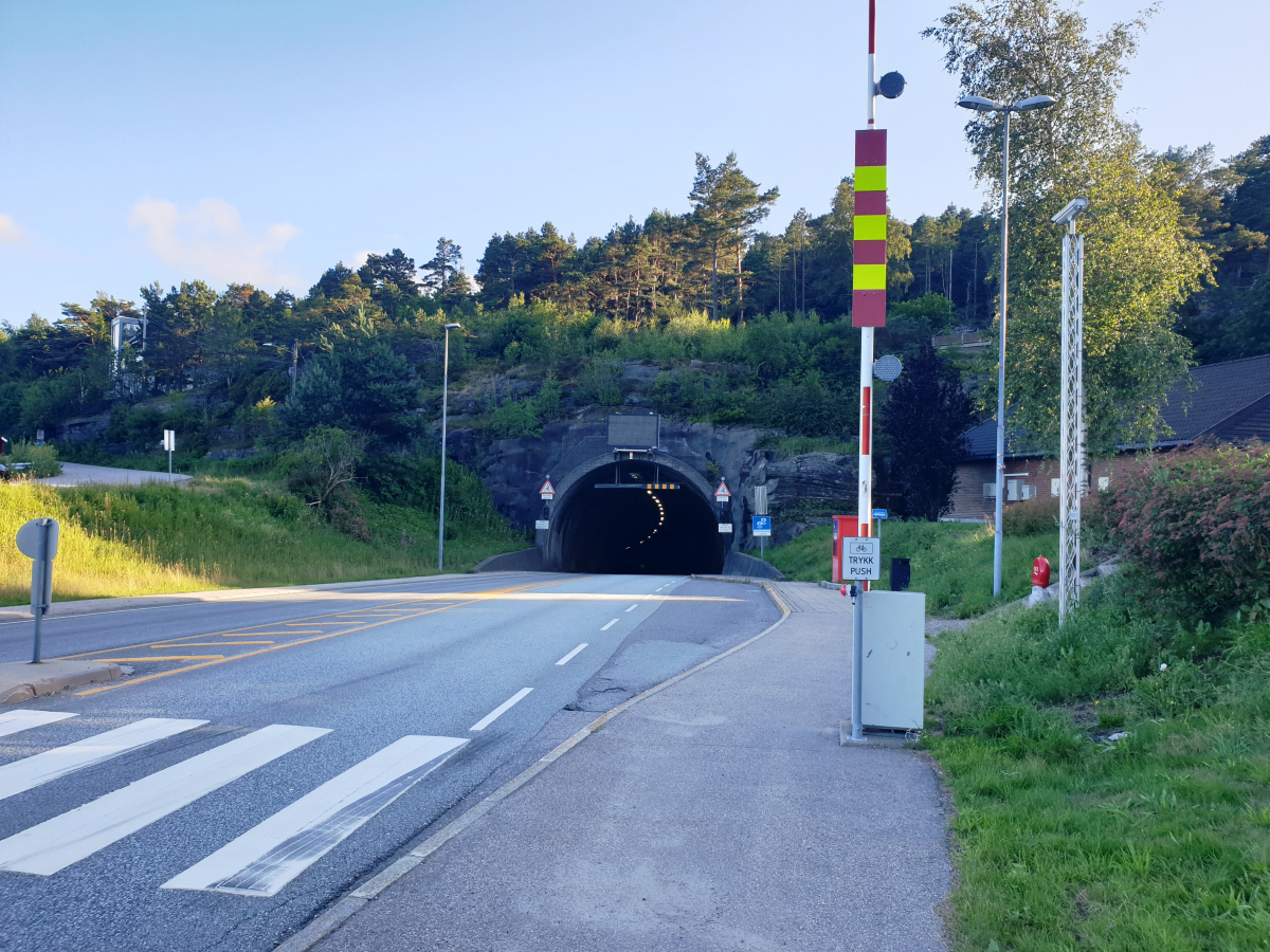
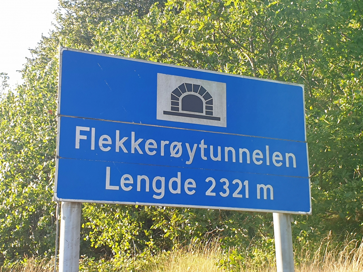
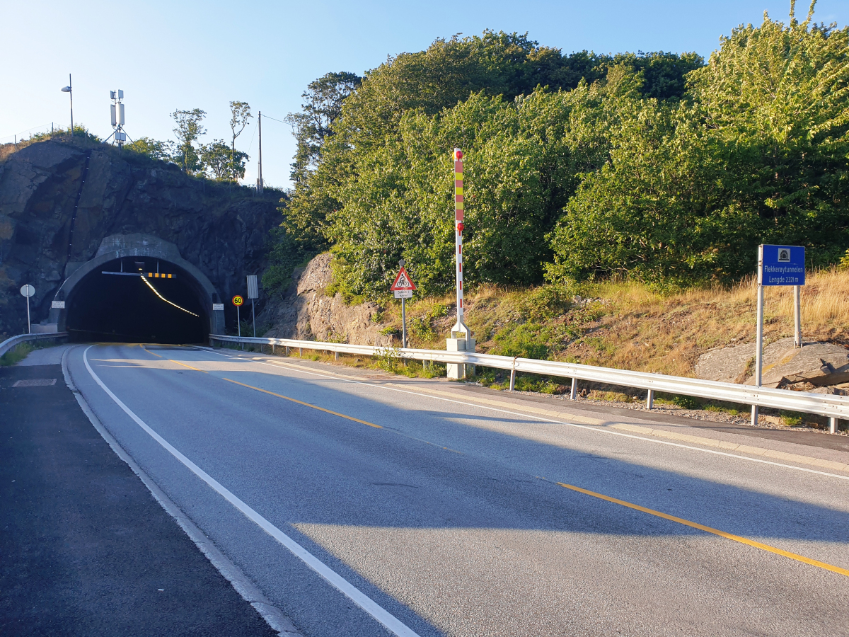
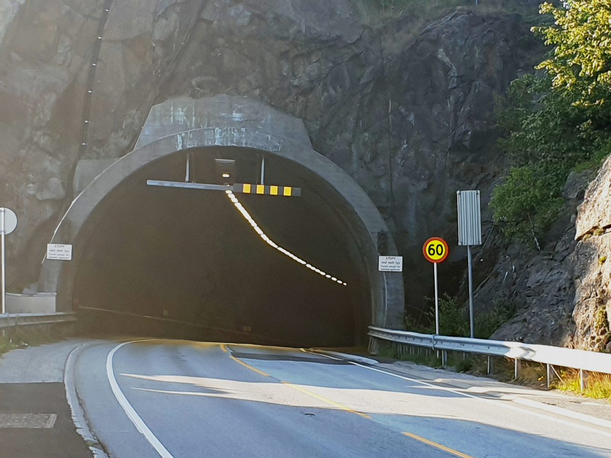
| Name in local language: | Flekkerøytunnelen |
|---|---|
| Completion: | 1989 |
| Status: | in use |
Project Type
| Structure: |
Tunnel |
|---|---|
| Function / usage: |
Road tunnel |
Location
| Location: |
Kristiansand, Agder, Norway |
|---|---|
| Address: | Fv457 |
| Coordinates: | 58° 5' 41.50" N 7° 58' 21.19" E |
| Coordinates: | 58° 4' 41.18" N 7° 59' 29.68" E |
Technical Information
Dimensions
| length | 2 321 m | |
| depth | max. -101 m | |
| longitudinal slope | max. 10% |
Notes
Subsea tunnel
Participants
Currently there is no information available about persons or companies having participated in this project.
Relevant Web Sites
There currently are no relevant websites listed.
- About this
data sheet - Structure-ID
20086553 - Published on:
18/08/2023 - Last updated on:
18/08/2023
Structurae cooperates with


