
General Information
| Completion: | 5 May 1931 |
|---|---|
| Status: | in use |
Project Type
| Structure: |
Underground structure |
|---|---|
| Function / usage: |
Below grade metro or light-rail station |
Location
| Location: |
Paris ( 3rd), Paris, Ile-de-France, France Paris (11th), Paris, Ile-de-France, France |
|---|---|
| Part of: | |
| Coordinates: | 48° 51' 24.48" N 2° 22' 6.06" E |
Technical Information
There currently is no technical data available.
Excerpt from Wikipedia
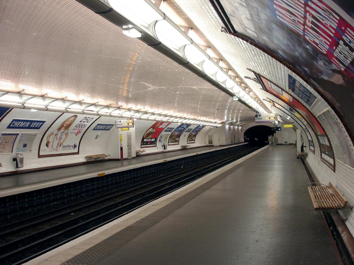
Chemin Vert is a station of the Paris Métro on Line 8, named after the Rue de Chemin Vert.
It is located in between Bastille station and Saint Sébastien - Froissart.
The station opened on 5 May 1931 with the extension of the line from Richelieu - Drouot to Porte de Charenton. The Rue de Chemin Vert (green path) follows the route of an old footpath through the middle of market gardens. In 1868 the Rue de Chemin Vert was extended from the Rue des Amandiers-Popincourt to the Barrier des Amandiers, a gate on the former Wall of the Farmers-General.
In 2011, 1,448,436 passengers entered this station.
Nearby are the Canal Saint-Martin and the Place des Vosges.
Text imported from Wikipedia article "Chemin Vert (Paris Métro)"
and modified on 23 July 2019 under the CC-BY-SA 3.0 license.
Participants
Currently there is no information available about persons or companies having participated in this project.
Relevant Web Sites

- About this
data sheet - Structure-ID
20051508 - Published on:
08/01/2010 - Last updated on:
25/01/2022
Structurae cooperates with


