
General Information
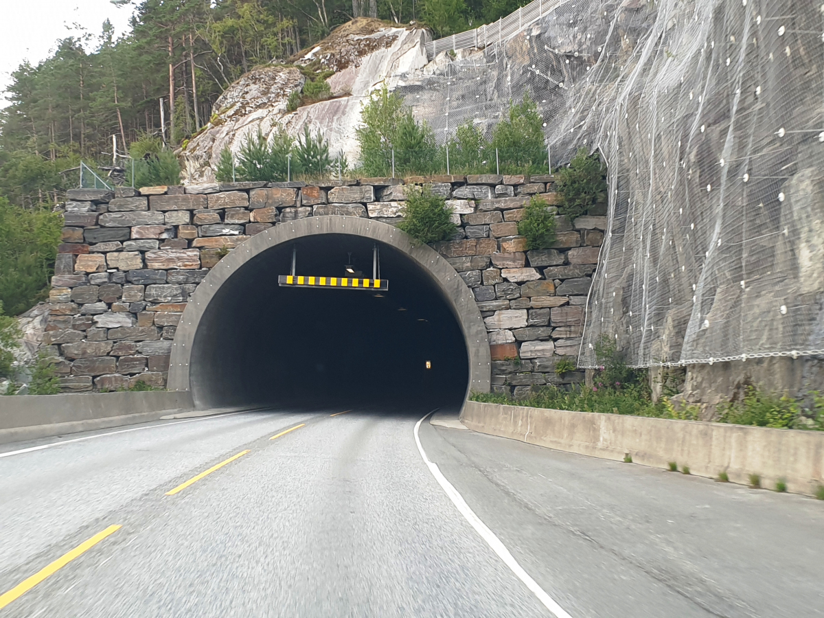
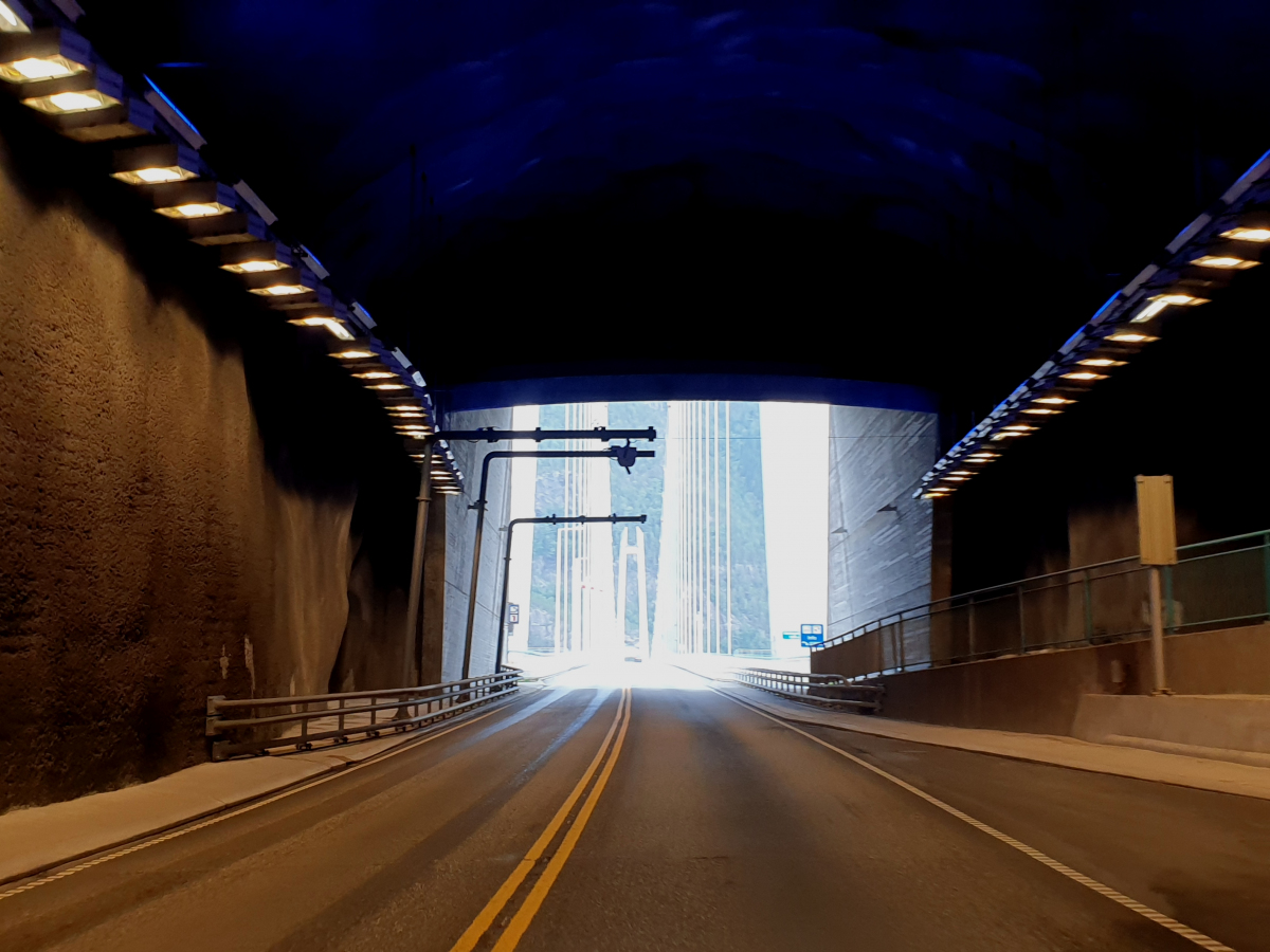
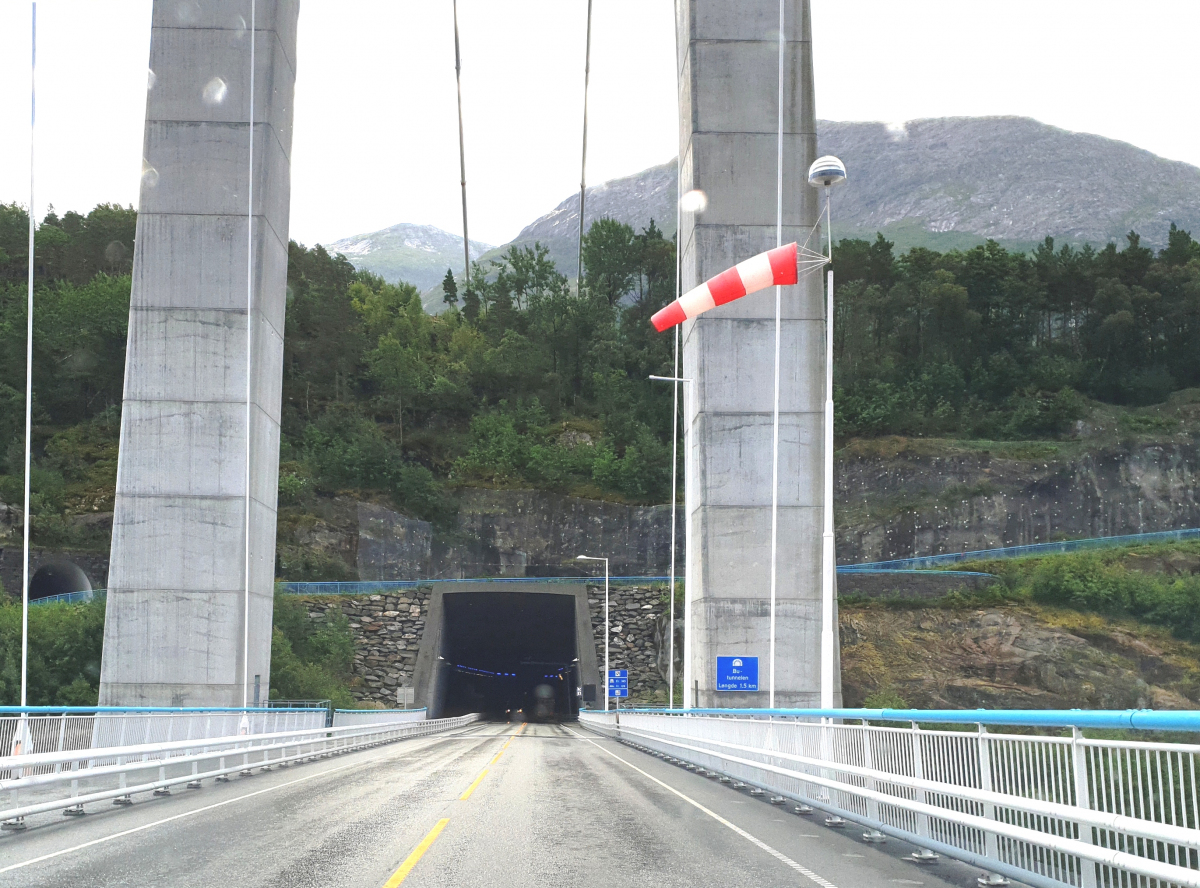
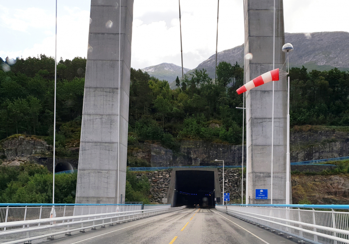
| Name in local language: | Butunnelen |
|---|---|
| Completion: | 17 August 2013 |
| Status: | in use |
Project Type
| Structure: |
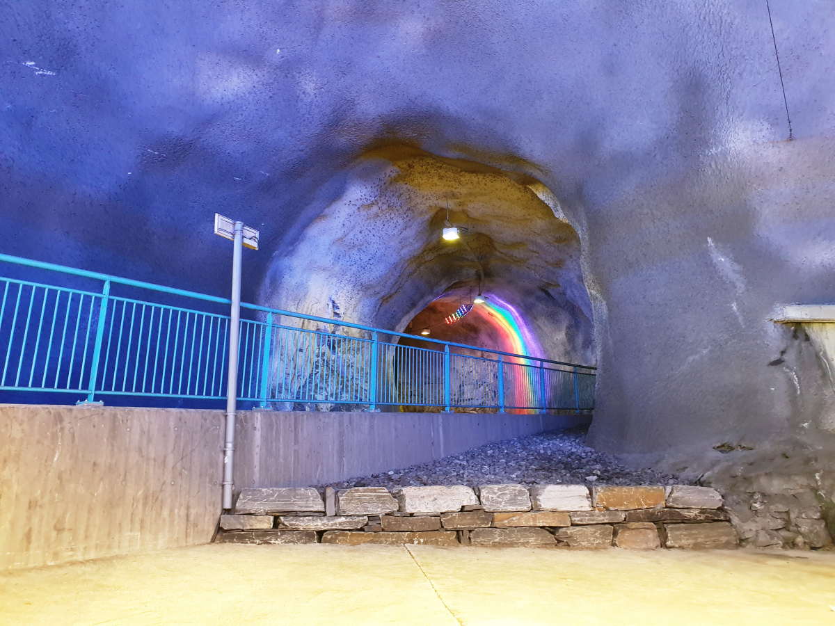
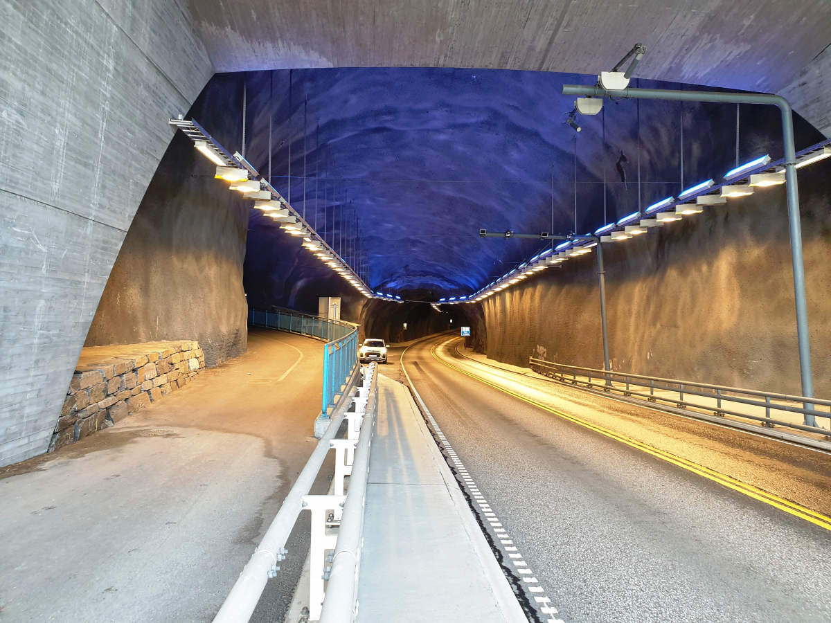
Tunnel |
|---|---|
| Function / usage: |
Road tunnel |
Location
| Location: |
Vestland, Norway |
|---|---|
| Address: | Rv13-Rv7 |
| Connects to: |
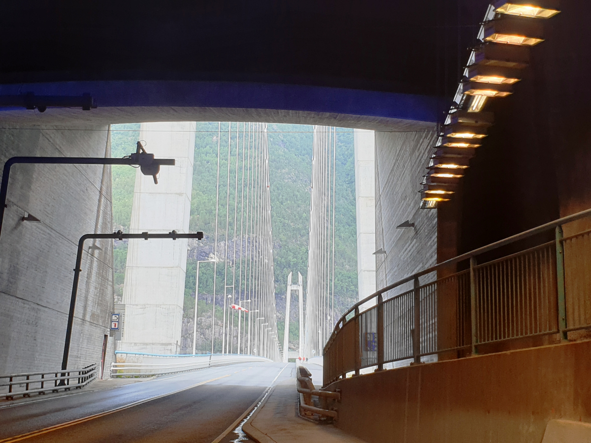
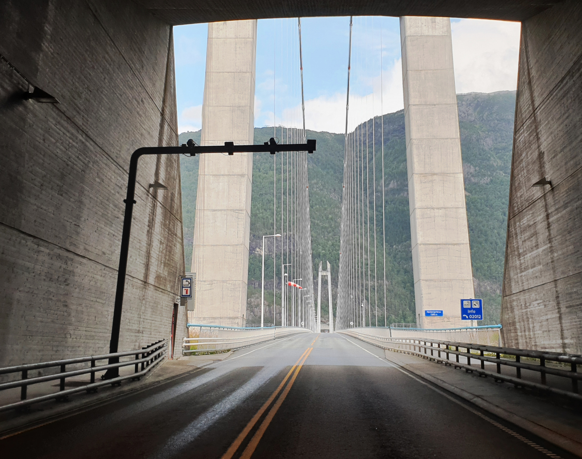
Hardanger Bridge (2013)
|
| Coordinates: | 60° 27' 52.41" N 6° 49' 18.57" E |
| Coordinates: | 60° 28' 5.72" N 6° 49' 44.25" E |
| Coordinates: | 60° 28' 23.02" N 6° 50' 12.65" E |
Technical Information
Dimensions
| length | 1 692 m |
Chronology
| 27 February 2010 | Breakthrough |
|---|
Participants
Currently there is no information available about persons or companies having participated in this project.
Relevant Web Sites
There currently are no relevant websites listed.
- About this
data sheet - Structure-ID
20087009 - Published on:
25/09/2023 - Last updated on:
25/09/2023
Structurae cooperates with


