

General Information
| Name in local language: | U-Bahnhof Baumwall |
|---|---|
| Beginning of works: | 1911 |
| Completion: | 29 June 1912 |
| Status: | in use |
Project Type
| Function / usage: |
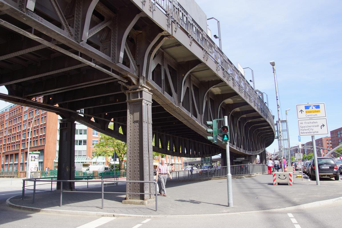
Elevated metro or light rail station |
|---|---|
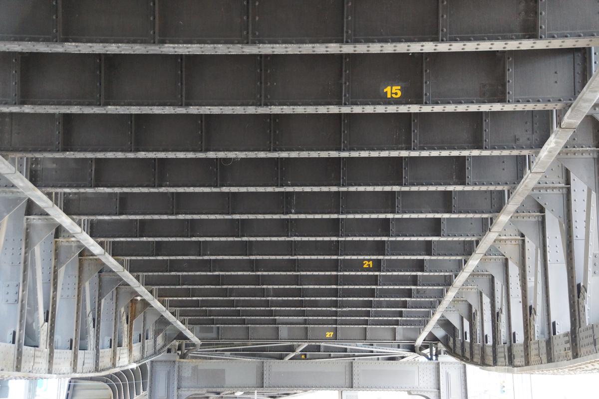
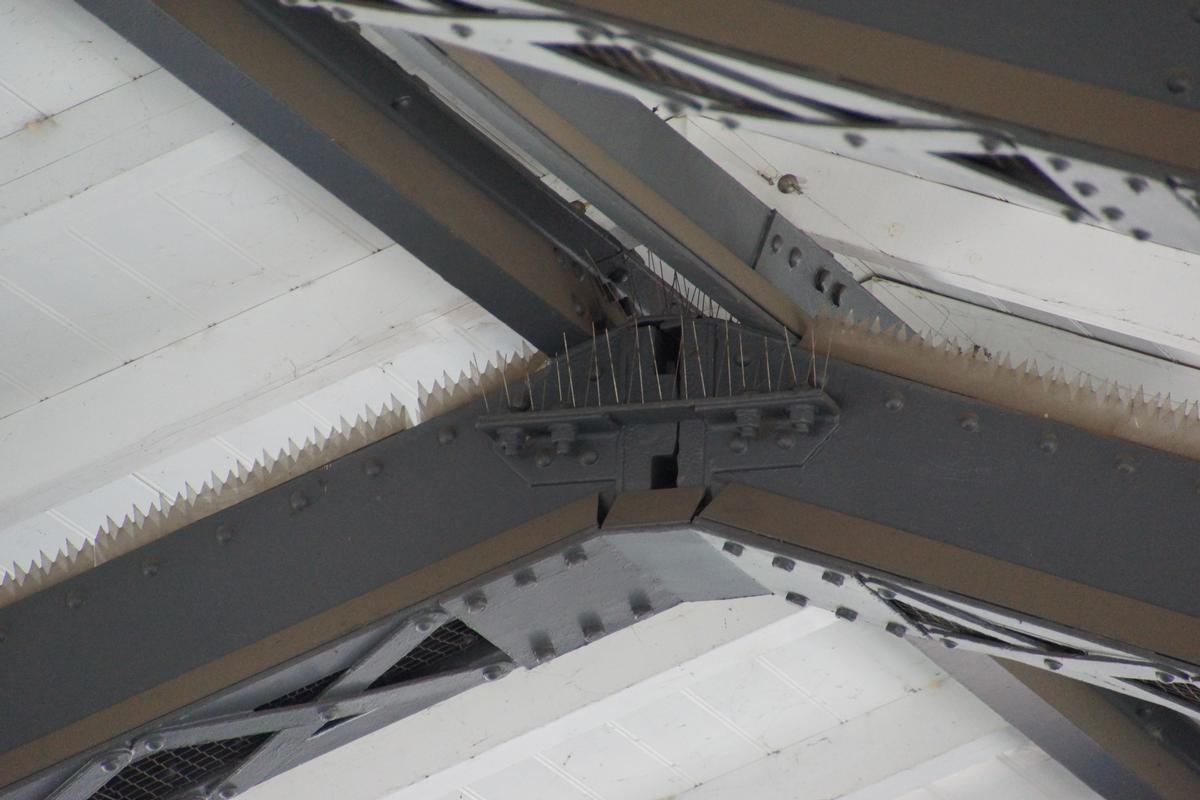
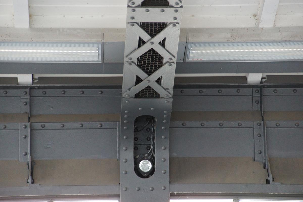
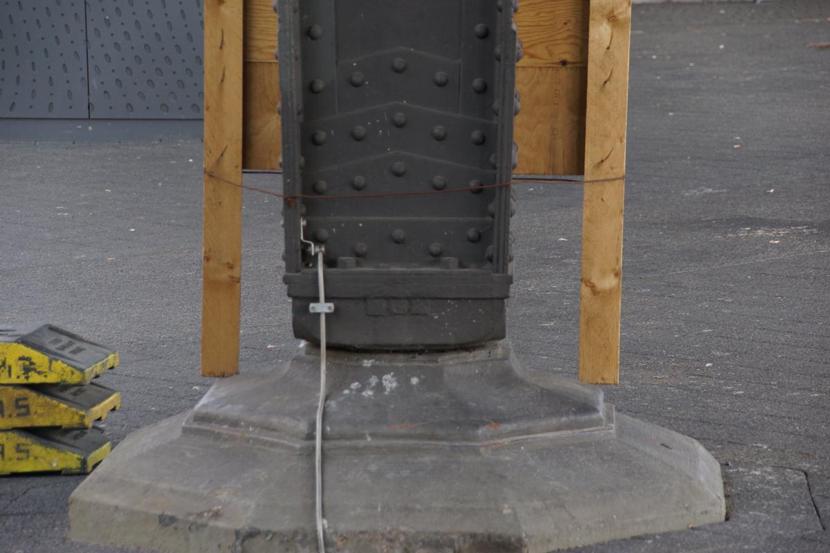
| Material: |
Steel structure |
Location
| Location: |
Hamburg-Neustadt, Hamburg, Germany |
|---|---|
| Part of: |
|
| Coordinates: | 53° 32' 39" N 9° 58' 54" E |
Technical Information
Dimensions
| number of tracks | 2 |
Materials
| roof |
steel
|
|---|
Excerpt from Wikipedia
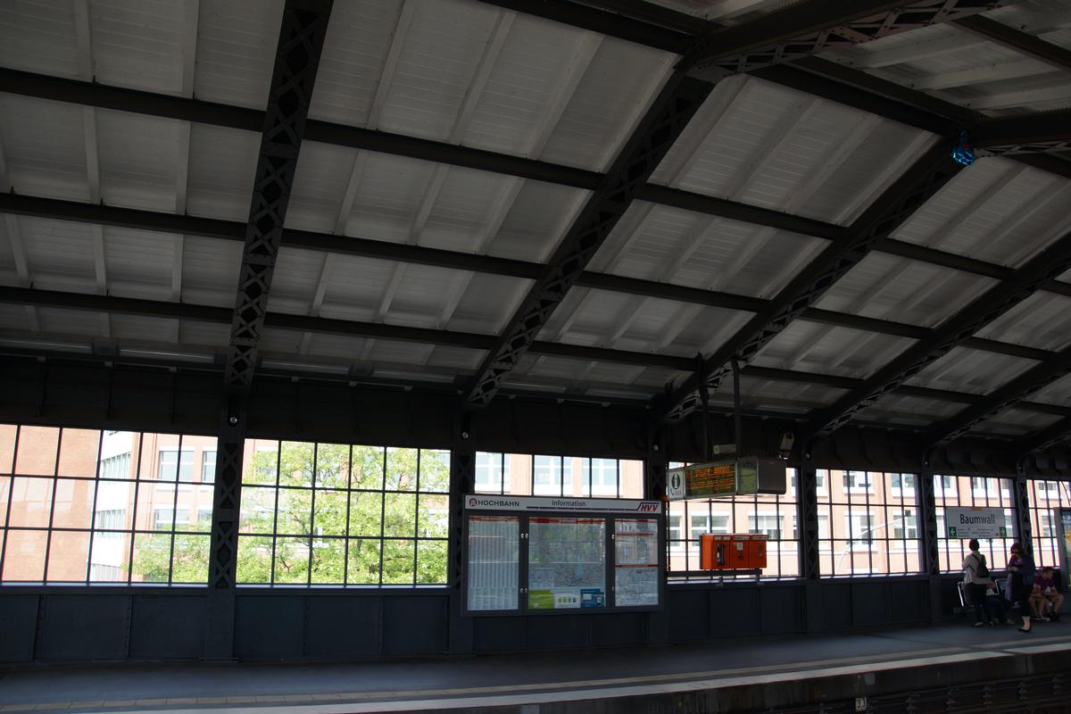
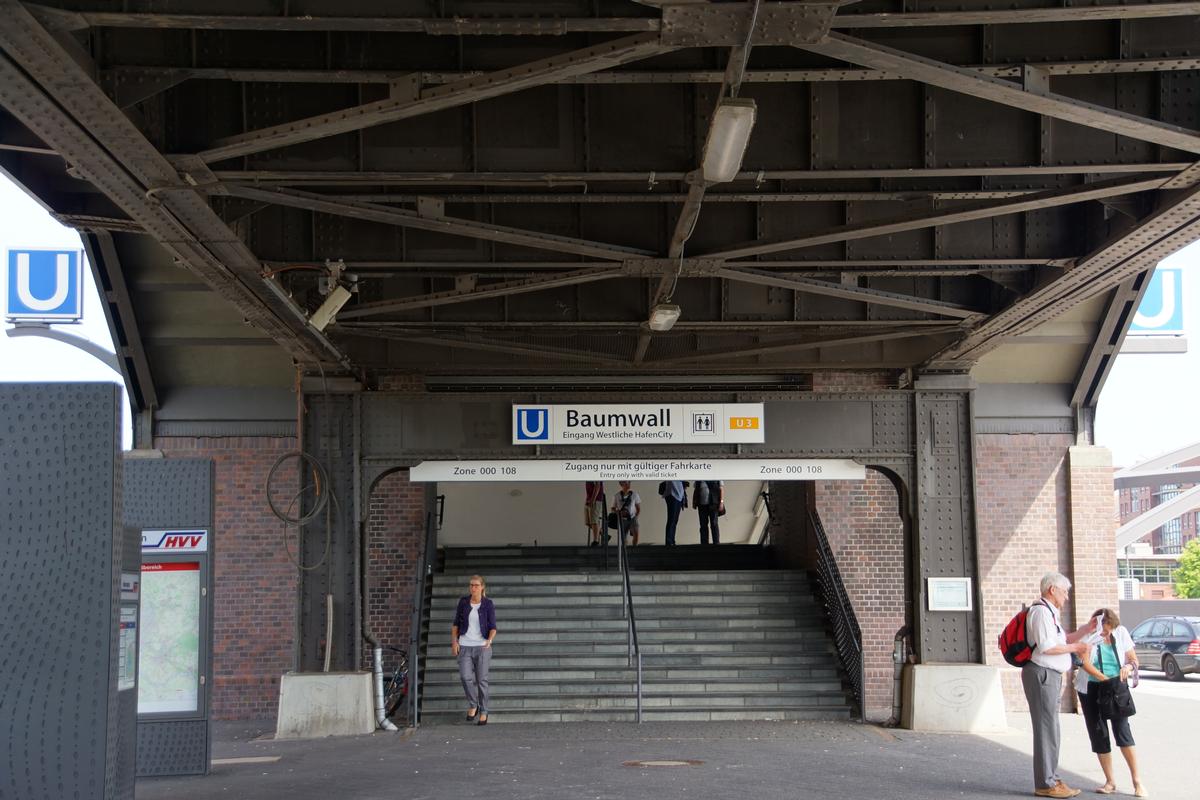
Baumwall (German pronunciation: [ˈbaʊ̯mˌval] (listen)) is an elevated metro station located at Baumwall embankment in Hamburg's inner-city. It was opened in 1912 and is served by Hamburg U-Bahn line U3. It was renamed Baumwall (Elbphilharmonie) on 2 December 2016.
Location
Baumwall is the name of an embankment on the Hamburg Harbour front. The station is located at the exposed headland of Fleet Island, between Herrengrabenfleet, Alsterfleet and Binnenhafen. Administratively, Baumwall belongs to Neustadt; bridges across Alsterfleet and Binnenhafen connect it with the districts Altstadt and HafenCity respectively. Historically, Baumwall was site of a water barrier and part of the Hamburg Wallanlagen.
The station has significance for both commuters and visitors. It is nearest station for the Hanseatic Trade Center and other large office complexes like Gruner + Jahr. For visitors it offers access to the Elbe Philharmonic Hall and the Speicherstadt.
Text imported from Wikipedia article "Baumwall station" and modified on 30 June 2022 according to the CC-BY-SA 3.0 license.
Participants
Relevant Web Sites

- About this
data sheet - Structure-ID
20054222 - Published on:
28/02/2010 - Last updated on:
18/08/2022
Structurae cooperates with


