
General Information
| Name in local language: | Bærumtunnelen |
|---|---|
| Completion: | 26 August 2011 |
| Status: | in use |
Project Type
| Structure: |
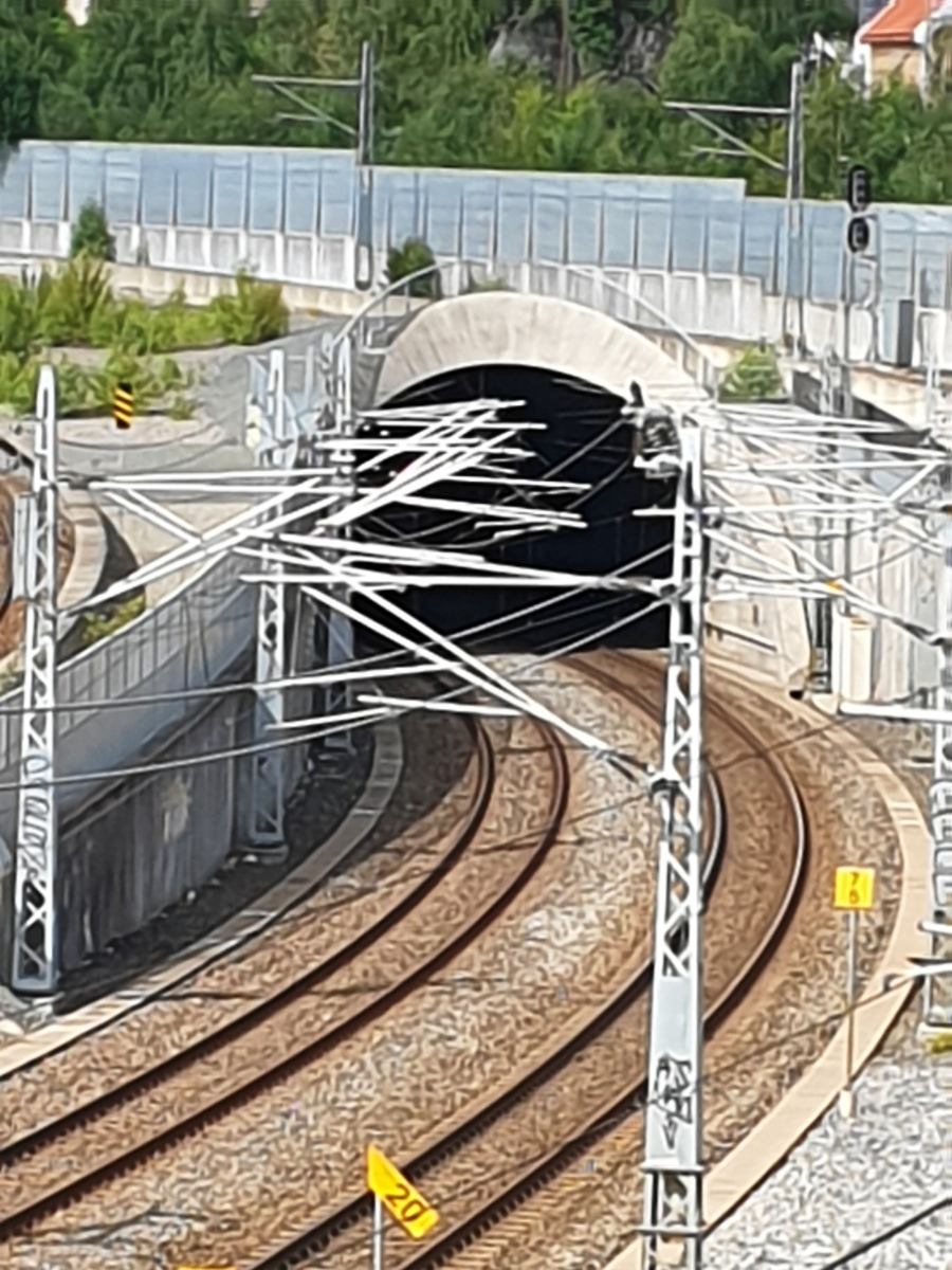
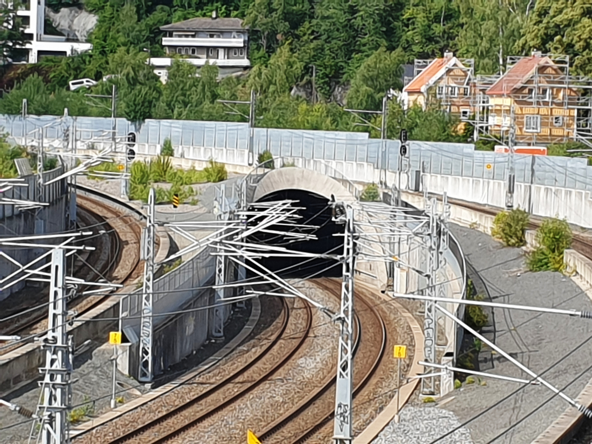
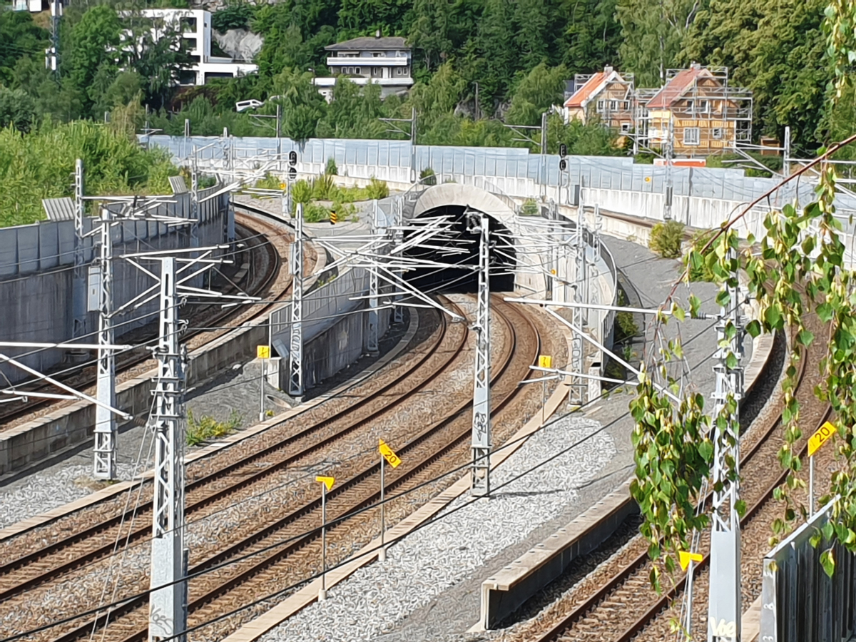
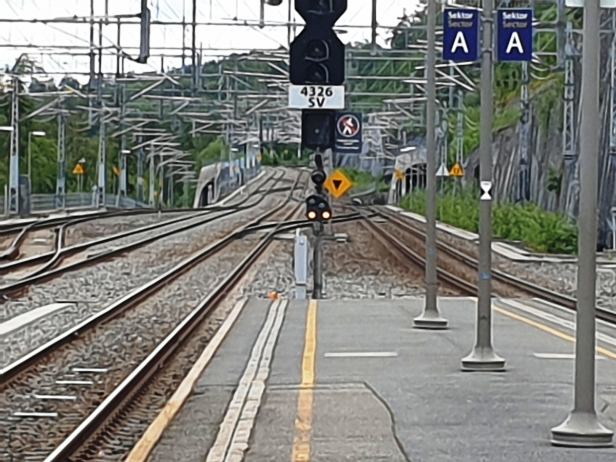
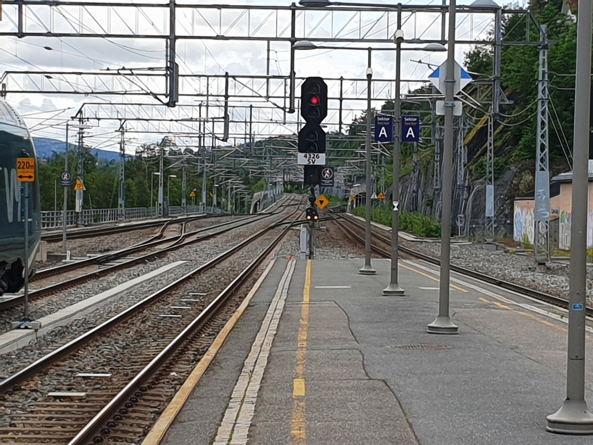
Tunnel |
|---|---|
| Function / usage: |
Railroad (railway) tunnel |
Location
| Location: |
Viken, Norway |
|---|---|
| Coordinates: | 59° 53' 47.90" N 10° 32' 12.17" E |
| Coordinates: | 59° 54' 53.58" N 10° 37' 38.39" E |
Technical Information
Dimensions
| length | 5 500 m | |
| depth | max. -14.85 m |
Chronology
| 26 June 2011 | Breakthrough |
|---|
Notes
At its deepest point, the tunnel is 14.85 meters below sea level, which is the lowest point on the Norwegian railway.
Participants
Currently there is no information available about persons or companies having participated in this project.
Relevant Web Sites
There currently are no relevant websites listed.
- About this
data sheet - Structure-ID
20087264 - Published on:
14/11/2023 - Last updated on:
14/11/2023
Structurae cooperates with


