
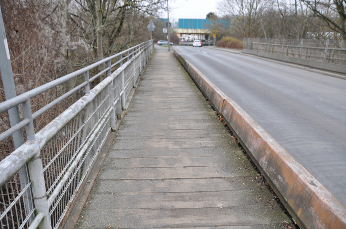
General Information
| Completion: | 1968 |
|---|---|
| Status: | in use |
Project Type
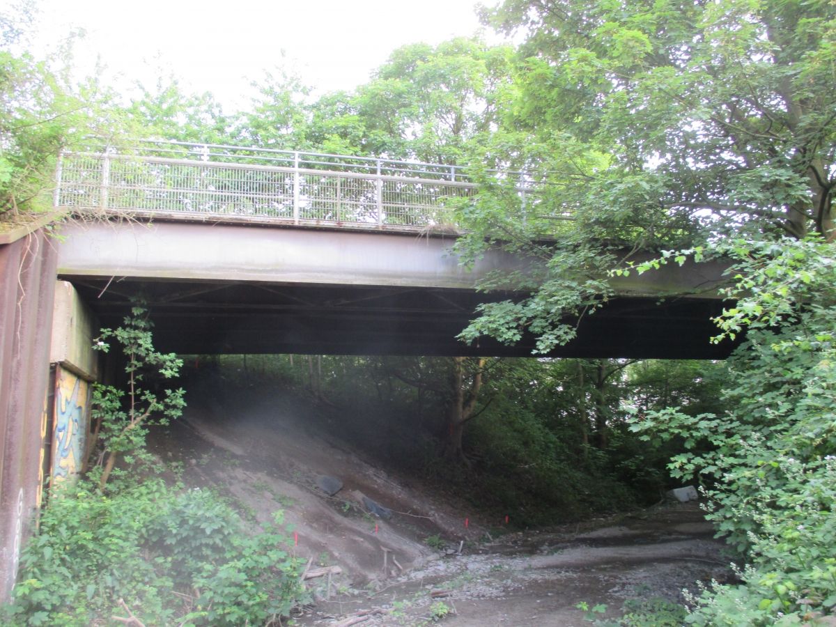
| Structure: |
Girder bridge |
|---|---|
| Function / usage: |
Road bridge |
Location
| Location: |
Dortmund, North Rhine-Westphalia, Germany |
|---|---|
| Coordinates: | 51° 29' 38.33" N 7° 31' 25.08" E |
Technical Information
There currently is no technical data available.
Chronology
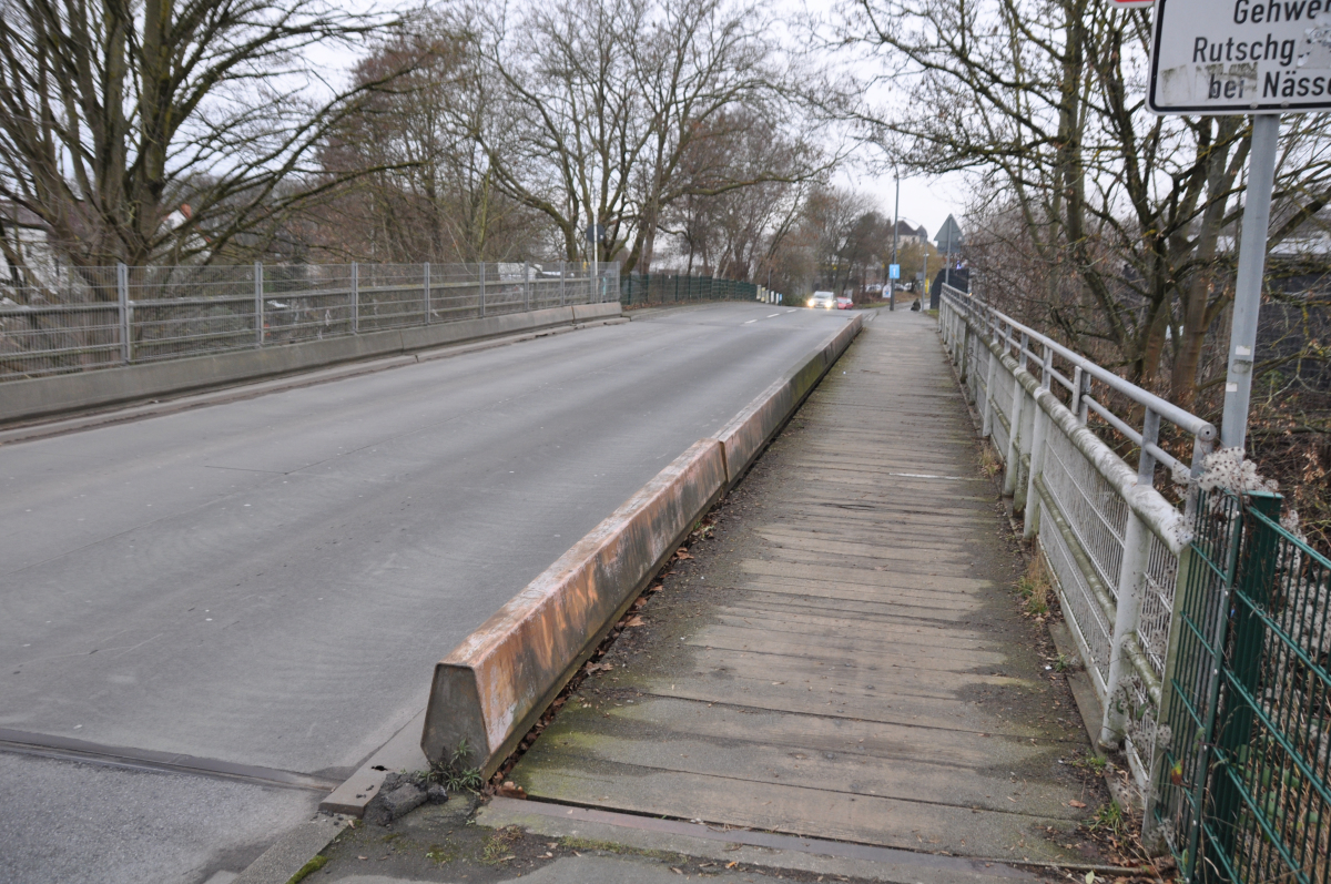
| 1968 | Bau der Brücke, die nur für sieben Jahre behelfseise genutztwerden sollte. |
|---|---|
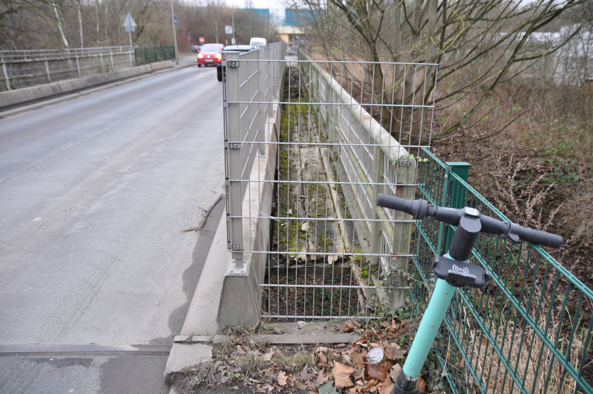
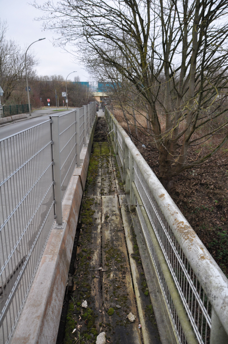
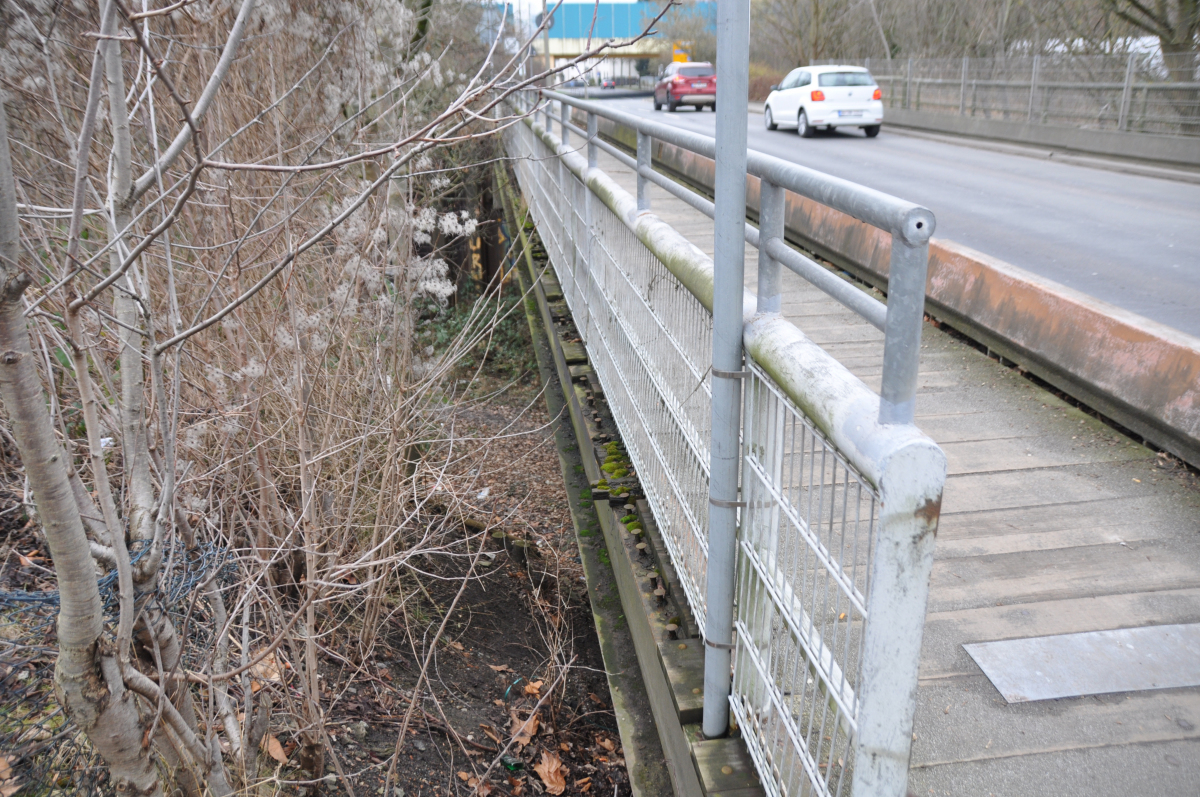
| 19 September 2019 | Bei einer Kontrolle der Brücke werden gravierende Schäden festgestellt: Auf der Ostseite der Brücke hat sich der Abschlusswinkel des Fahrbahnübergangs teilweise von der Unterkonstruktion gelöst. Auf der Brücke wurde eine Baustellenampel eingerichtet, so dass die Brücke nur noch einspurig befahrbahr ist. |
Participants
Owner
Relevant Web Sites
There currently are no relevant websites listed.
- About this
data sheet - Structure-ID
20078347 - Published on:
04/10/2019 - Last updated on:
27/01/2022
Structurae cooperates with


