
General Information
| Completion: | 31 March 1978 |
|---|---|
| Status: | in use |
Project Type
| Function / usage: |
Metro (Subway, Underground) Line |
|---|
Location
| km | Name |
Technical Information
Dimensions
| length | 19..3 km | |
| number of stations | 22 |
Excerpt from Wikipedia
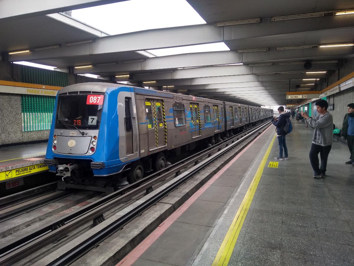
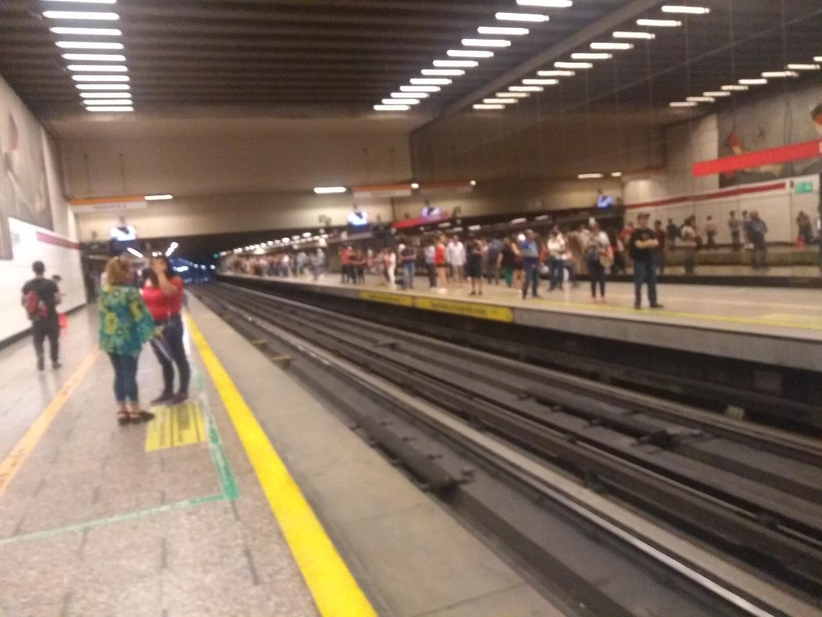
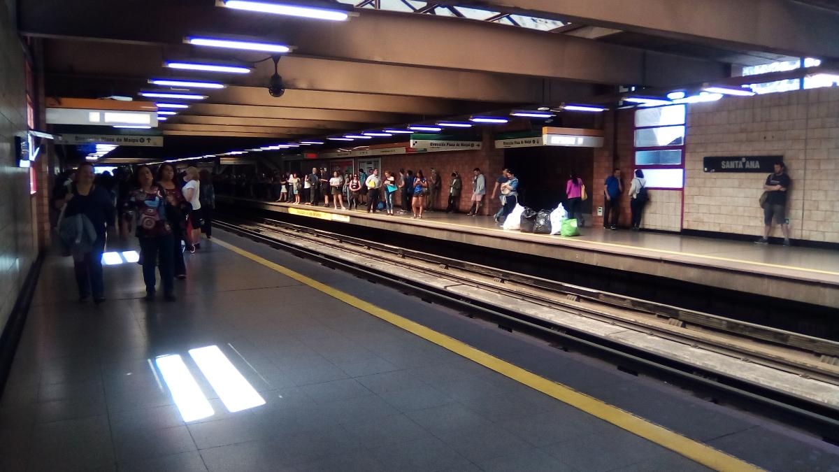
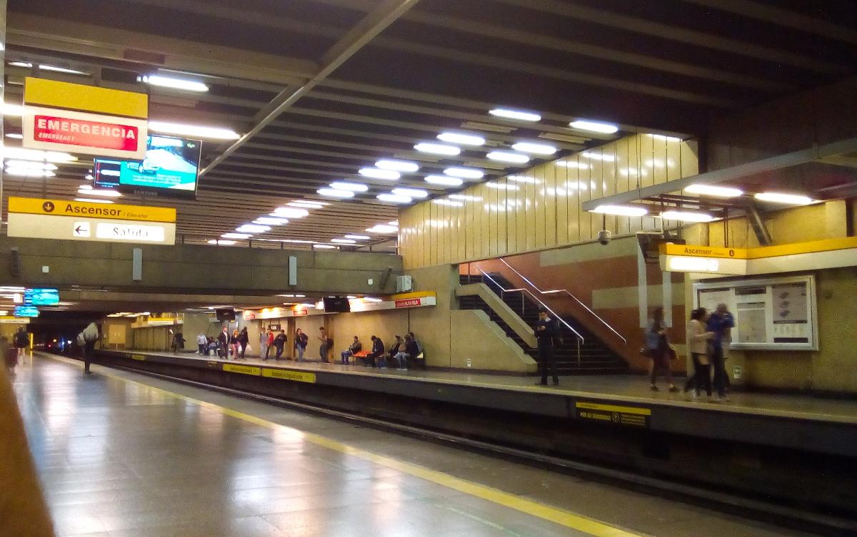
Santiago Metro Line 2 is one of the seven rapid transit lines that currently make up the Santiago Metro network in Santiago, Chile. It has 22 stations and 20.7 km of track. The line intersects with Line 1 at Los Héroes, with the Line 3 at Puente Cal y Canto, with Line 4A at La Cisterna, with Line 5 at Santa Ana, and Line 6 at Franklin. It will also intersect with the future Line 7 at Puente Cal y Canto. Its distinctive colour on the network map is banana yellow.
In 2015, Line 2 accounted for 18.8% of all trips made on the metro with a daily ridership of 325,400.
History
The first section on Line 2 opened to the public on March 31, 1978 running between Los Héroes and Franklin. Later the same year, in December, the next section opened running between Franklin and Lo Ovalle.
Plans for an extension southeast towards Rodrigo de Araya were postponed after a major earthquake in 1985; in fact, only two stations opened separately at the line's northern end in 1987 (Santa Ana and Puente Cal y Canto). Two decades later, with a change of plans, it was decided that Line 2 would continue northwards instead of southeast, owing to recent availability of Tunnel Boring Machines, and on September 8, 2004, two further stations opened to the north, Patronato and Cerro Blanco. These stations marked a new feat in Santiago and overall Chilean engineering by building under the Mapocho River and the Costanera Norte freeway. That year, the line was also extended to the south with the opening of El Parrón and La Cisterna.
Another section opened in the north on November 25, 2005, running from Cerro Blanco station to Einstein station. Finally, on December 22, 2006, the three most recent stations opened: Vespucio Norte, Zapadores and Dorsal.
On October 26, 2009, the express service began to run on Line 2, stopping at certain stations only at peak times, allowing for faster journeys.
On November 2, 2017, line 6 opened to the public, intersecting line 2 with line 6 at Franklin.
On July 30, 2019, the construction of a southward extension began, where 4 new stations will be added; the extension will be operational by 2023, enabling the metro to serve El Bosque and San Bernando, specifically the El Pino hospital in the latter.
In October 2019, a series of protests resulted in damage to the metro network. Line 2 was closed because of a fire in the mezzanine of Vesupcio Norte on October 18, which resulted in moderate damage; a few other stations on Line 2 suffered minor damage. Service on the line was partly restored on October 25 with trains running express between La Cisterna and Zapadores. Full service was restored to Line 2 on November 11. The protests didn't affect the works on the southward extension to San Bernardo.
Communes served by Line 2
This line serves the following communes from North to South:
- Huechuraba (Indirectly)
- Recoleta
- Independencia
- Santiago
- San Miguel
- La Cisterna
- El Bosque (2023)
- San Bernardo (2023)
Tren Expreso (Express Service)
The express service works during peak hours and allows trains to stop at alternate stations, reducing the number of stops and the duration of journeys. The stations on the line are divided into “green route” stations, “red route” stations and “common” stations (Spanish: estación común), where all trains stop and allow passengers to switch between red and green routes. The express service works from Monday to Friday, between 6am - 9am and 6pm - 9pm.
Red Route Stations
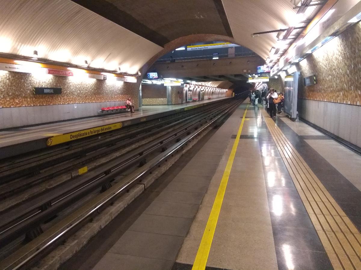
- Dorsal
- Cementerios
- Patronato
- Parque O'Higgins
- El Llano
- Lo Vial
- Ciudad Del Niño
Green Route Stations
- Einstein
- Cerro Blanco
- Toesca
- Rondizzoni
- San Miguel
- Departamental
- El Parrón
Common Stations
There are 8 stations where both red and green route trains stop. They are the busiest stations and give commuters the chance to change between routes.
- Vespucio Norte
- Zapadores
- Puente Cal y Canto
- Santa Ana
- Los Héroes
- Franklin
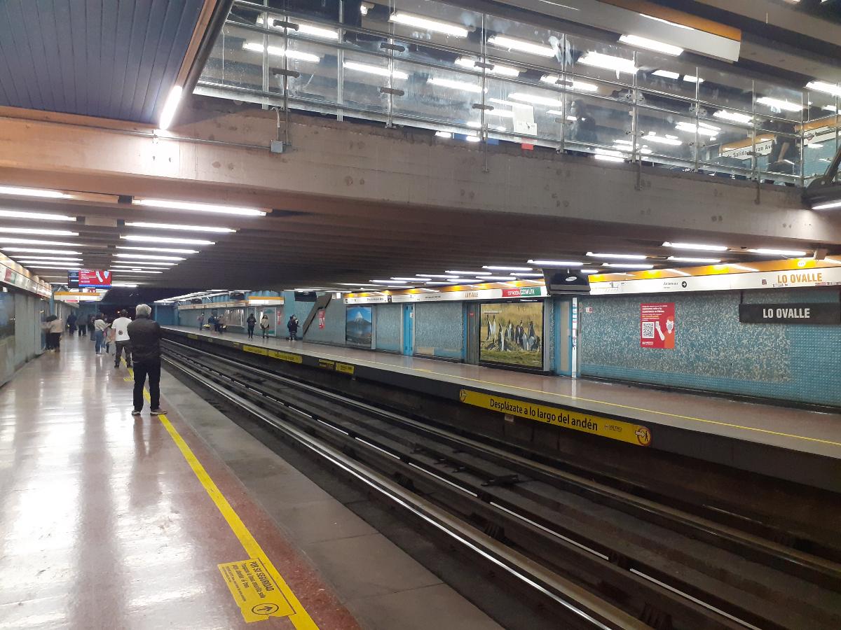
- Lo Ovalle
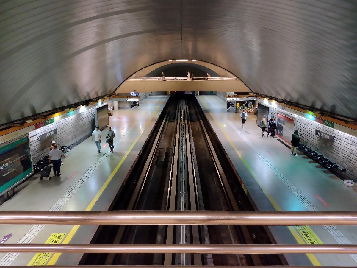
- La Cisterna
Line 2 data sheet
- Terminal Communes: Recoleta – La Cisterna
- Track:
- Americo Vespucio Avenue: 1 Station
- Recoleta Avenue: 6 stations
- Puente Cal y Canto, Puente Pedestrian Street: 1 station
- Manuel Rodríguez Avenue: 2 stations
- President Jorge Alessandri Avenue: 3 stations
- Gran Avenida José Miguel Carrera: 9 stations
- Padre Hurtado Avenue: 4 stations
- Construction methods:
- Hospital El Pino - Franklin: Underground.
- Rondizzoni: Trench
- Parque O'Higgins: Raised embankment.
- North of Parque O'Higgins: Viaduct.
- Toesca: Trench.
- Los Héroes: Underground.
- Santa Ana: Trench.
- Puente Cal y Canto - Vespucio Norte: Underground.
- Opening dates:
- Los Héroes– Franklin: March 1978
- Franklin – Lo Ovalle: December 1978
- Los Héroes - Puente Cal y Canto: September 1987
- Puente Cal y Canto – Cerro Blanco: September 2004
- Lo Ovalle – La Cisterna: December 2004
- Cerro Blanco – Einstein: November 2005
- Einstein – Vespucio Norte : December 2006
- La Cisterna - Hospital El Pino: 2022
Text imported from Wikipedia article "Santiago Metro Line 2" and modified on 24 November 2021 according to the CC-BY-SA 3.0 license.
Participants
Currently there is no information available about persons or companies having participated in this project.
Relevant Web Sites

- About this
data sheet - Structure-ID
10053344 - Published on:
19/02/2010 - Last updated on:
24/02/2022
Structurae cooperates with


