
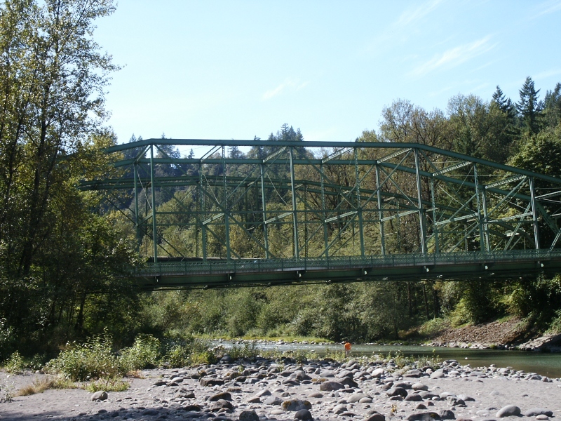
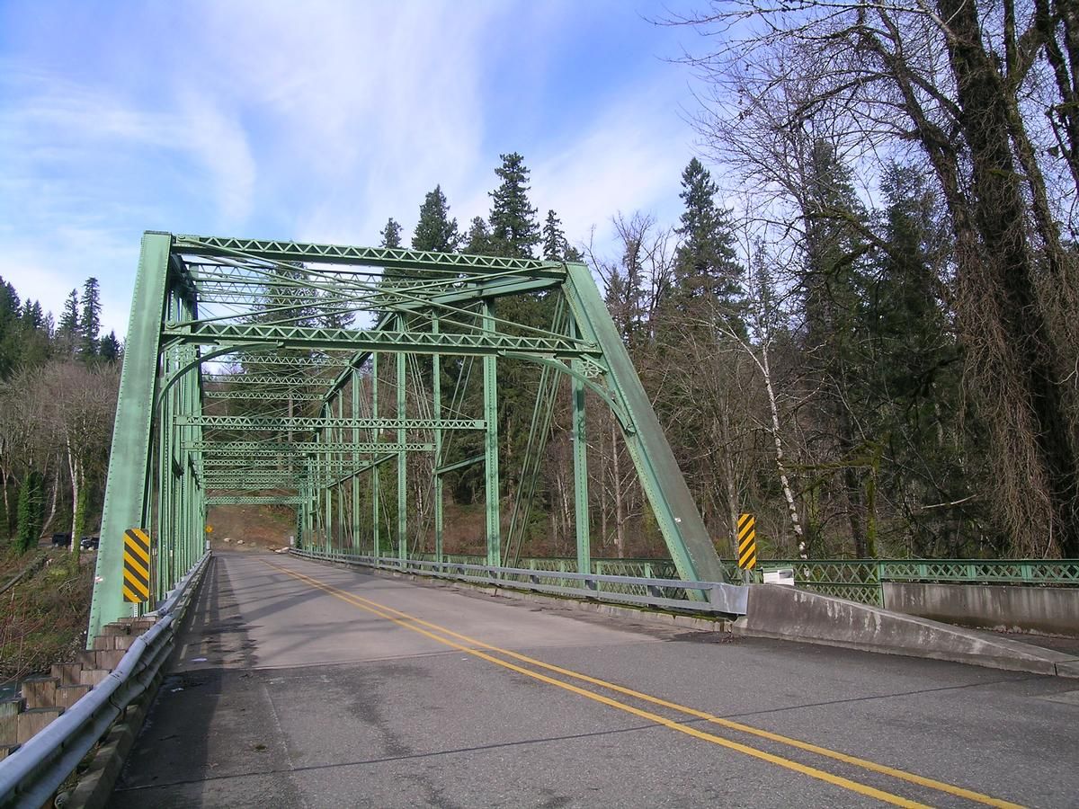
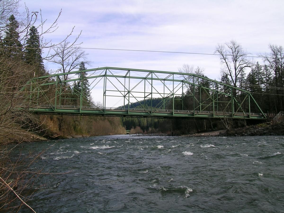
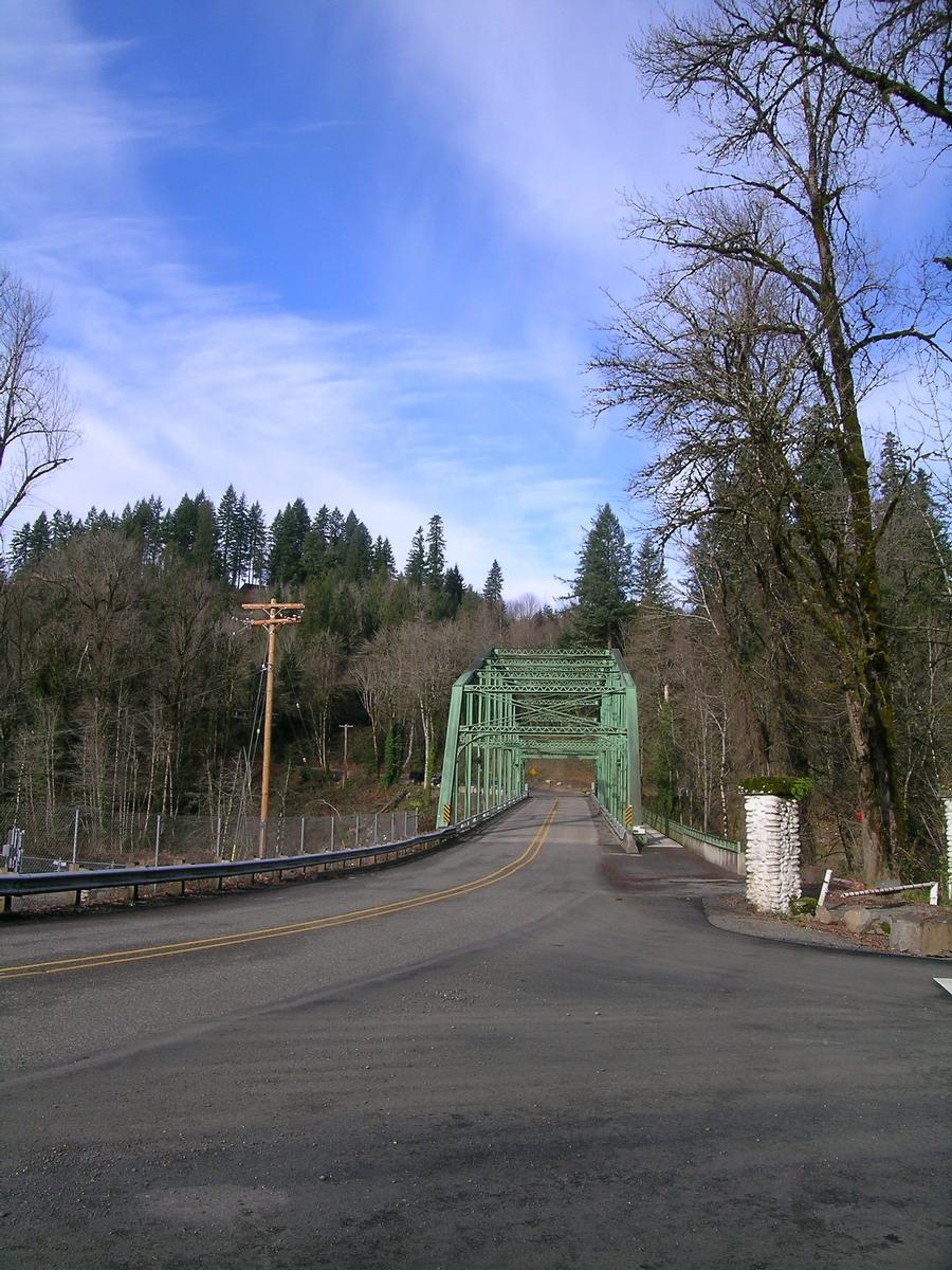
General Information
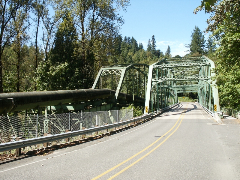
| Other name(s): | Sandy River Bridge |
|---|---|
| Completion: | 1894 |
| Status: | in use |
Project Type
| Structure: |
Pennsylvania (Petit) truss bridge Through truss bridge |
|---|---|
| Function / usage: |
Road bridge |
| Material: |
Metal bridge |
Location
| Location: |
Sandy, Clackamas County, Oregon, USA |
|---|---|
| Address: | Lusted County Road |
| Crosses: |
|
| Coordinates: | 45° 26' 42.30" N 122° 15' 13.45" W |
Technical Information
Dimensions
| span | 91.44 m |
Materials
| truss |
wrought iron
|
|---|
Chronology
| 1894 | Constructed as part of Burnside Bridge across Willamette River, Portland, Oregon. |
|---|---|
| 1926 | Relocated to current site. |
Participants
Currently there is no information available about persons or companies having participated in this project.
Relevant Web Sites
There currently are no relevant websites listed.
Relevant Publications
- (1989): Historic Highway Bridges of Oregon. 2nd edition, Oregon Historical Society, Portland (USA), pp. 60.
- About this
data sheet - Structure-ID
20017714 - Published on:
07/09/2005 - Last updated on:
05/02/2016
Structurae cooperates with


