

.jpg)
.jpg)
General Information
| Other name(s): | Hennepin Avenue Bridge |
|---|---|
| Completion: | 1990 |
| Status: | in use |
Project Type
| Structure: |
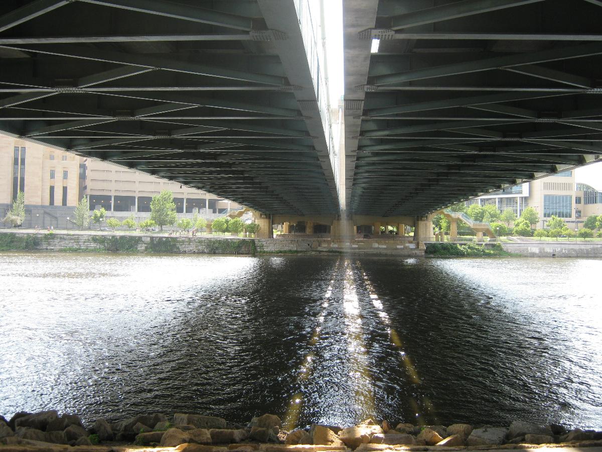
Single-span two-tower suspension bridge |
|---|---|
| Support conditions: |
for registered users |
| Secondary structure(s): |
Structurae Plus/Pro - Subscribe Now! |
| Function / usage: |
Road bridge |
| Material: |
Steel-reinforced concrete composite bridge Structurae Plus/Pro - Subscribe Now! |
| Plan view: |
Structurae Plus/Pro - Subscribe Now! |
Location
| Location: |
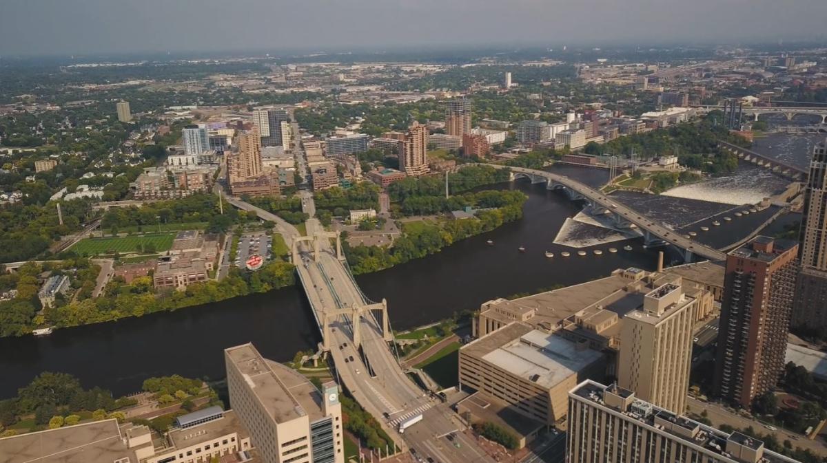
Minneapolis, Hennepin County, Minnesota, USA |
|---|---|
| Coordinates: | 44° 59' 7" N 93° 15' 50" W |
Technical Information
Dimensions
| main span | 190 m | |
| width | 41 m | |
| total length | 316 m |
Materials
| pylons |
reinforced concrete
|
|---|---|
| deck slab |
reinforced concrete
|
| abutments |
reinforced concrete
|
| cross beams |
steel
|
| main girders |
steel
|
Excerpt from Wikipedia
The Hennepin Avenue Bridge is the structure that carries Hennepin County State Aid Highway 52, Hennepin Avenue, across the Mississippi River in Minneapolis, Minnesota, at Nicollet Island. Officially, it is the Father Louis Hennepin Bridge, in honor of the 17th-century explorer Louis Hennepin, who was the first European to see the Saint Anthony Falls, a short distance downriver. Two of the three previous structures have been suspension bridges, while a third—which existed nearly a century—was composed of steel arch spans. The original crossing, which opened as a toll bridge on January 23, 1855, is believed to have been the first permanent span across the Mississippi at any point. Other bridges were completed in 1876, 1891, and most recently 1990. Today, the bridge's main span is 190 metres (620 ft) in length, making it rather small by modern standards.
Text imported from Wikipedia article "Hennepin Avenue Bridge"
and modified on 23 July 2019 under the CC-BY-SA 3.0 license.
Participants
Design
Relevant Web Sites

- About this
data sheet - Structure-ID
20007623 - Published on:
07/01/2003 - Last updated on:
21/12/2021
Structurae cooperates with


