
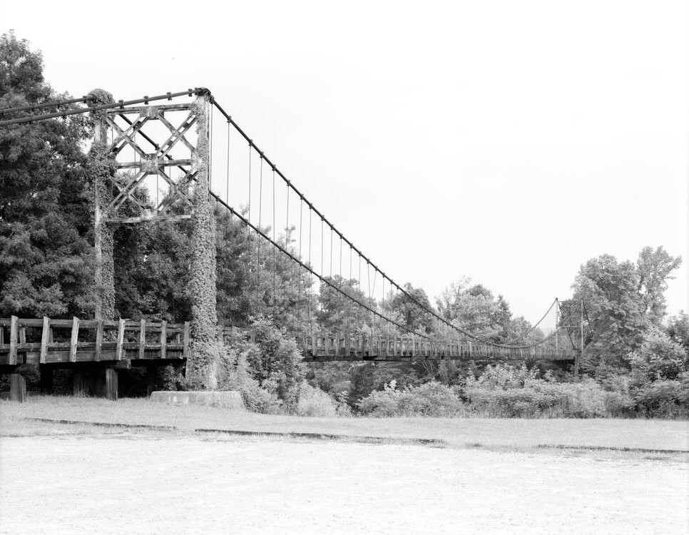
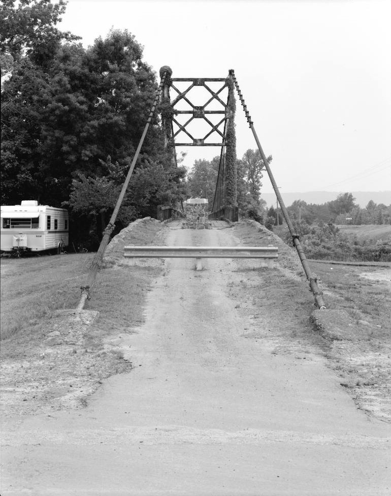
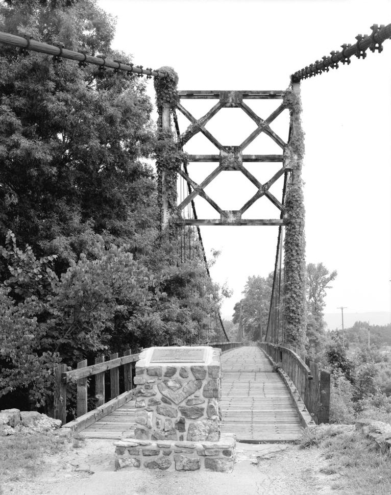
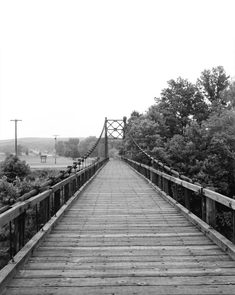
General Information
| Completion: | 1912 |
|---|---|
| Status: | collapsed (1989) |
Project Type
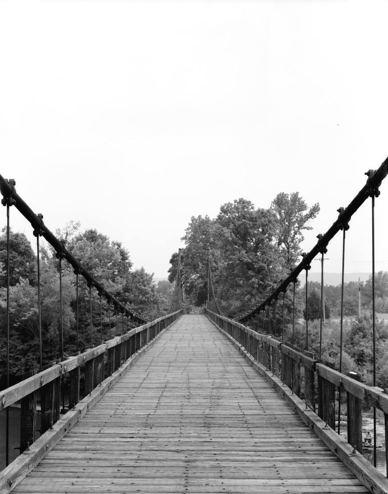
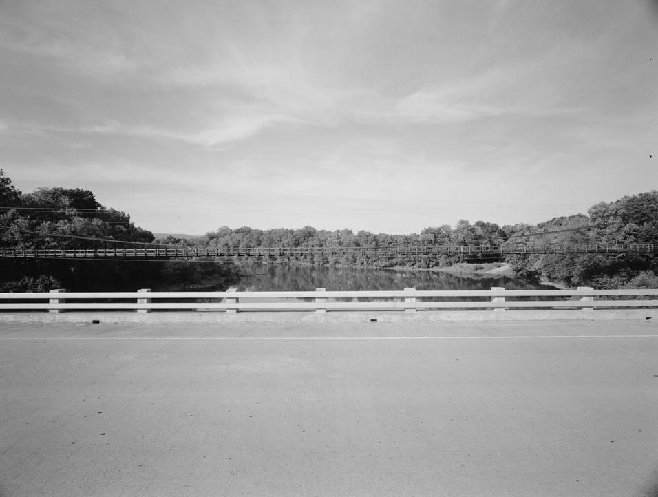
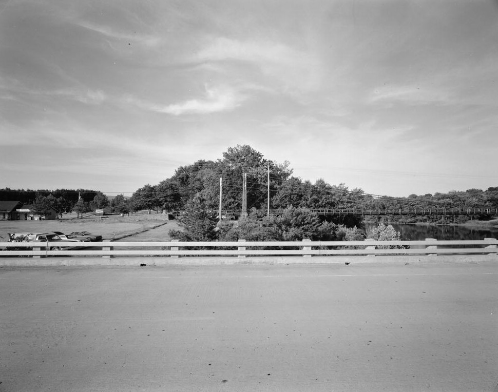
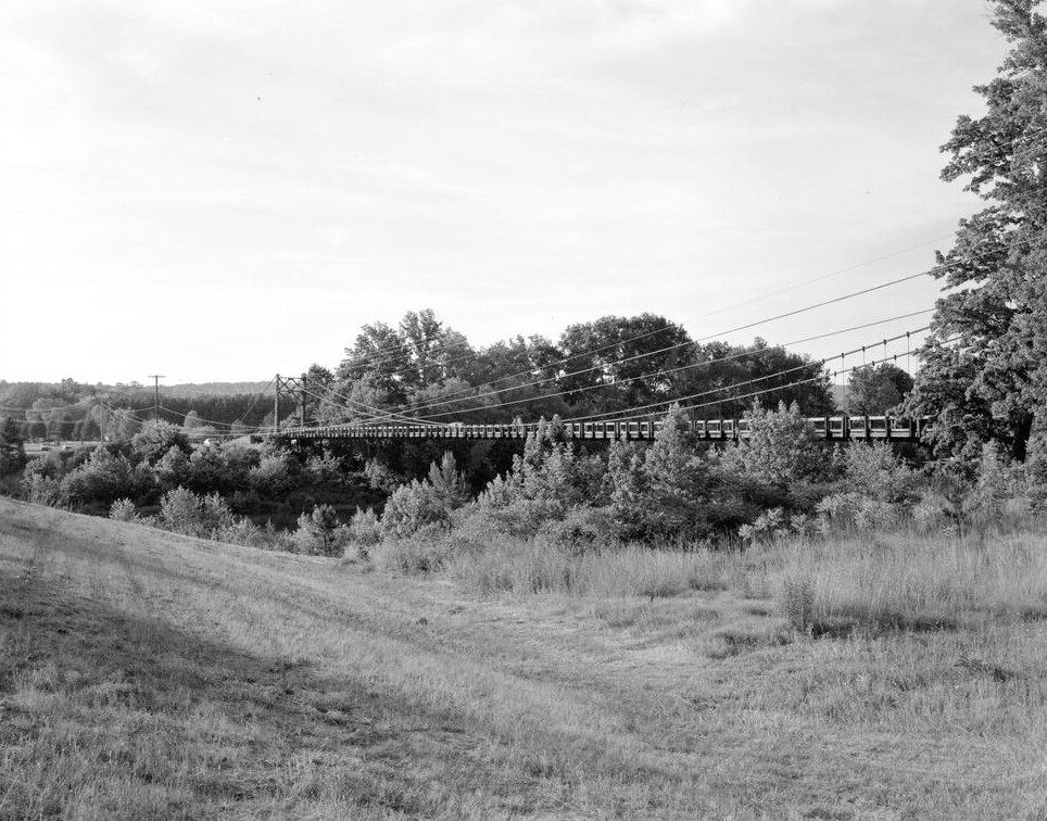
| Structure: |
Suspension bridge |
|---|---|
| Function / usage: |
Road bridge |
Location
| Location: |
Heber Springs, Cleburne County, Arkansas, USA |
|---|---|
| Crosses: |
|
| Coordinates: | 35° 29' 24.46" N 91° 58' 28.30" W |
Technical Information
Dimensions
| total length | 167.6 m |
Materials
| cables |
steel
|
|---|---|
| deck |
wood
|
Chronology
| 1972 | Closed to vehicular traffic. |
|---|---|
| 28 October 1989 | A church group of around 50 adolescents swings the bridge sideways until one of the cables gives way causing the failure of one of the towers and the entire deck. Five persons are killed in the collapse. |
Participants
(role unknown)
Relevant Web Sites

Relevant Publications
- (1984): Great American Bridges and Dams. A National Trust Guide. John Wiley & Sons, New York (USA), pp. 166.
- About this
data sheet - Structure-ID
20001341 - Published on:
03/03/2001 - Last updated on:
05/02/2016
Structurae cooperates with


