
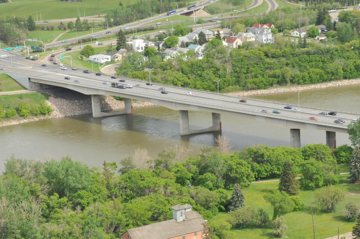
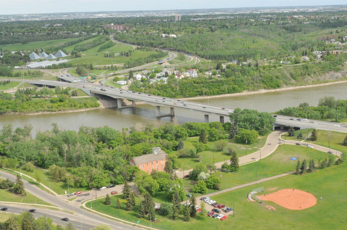
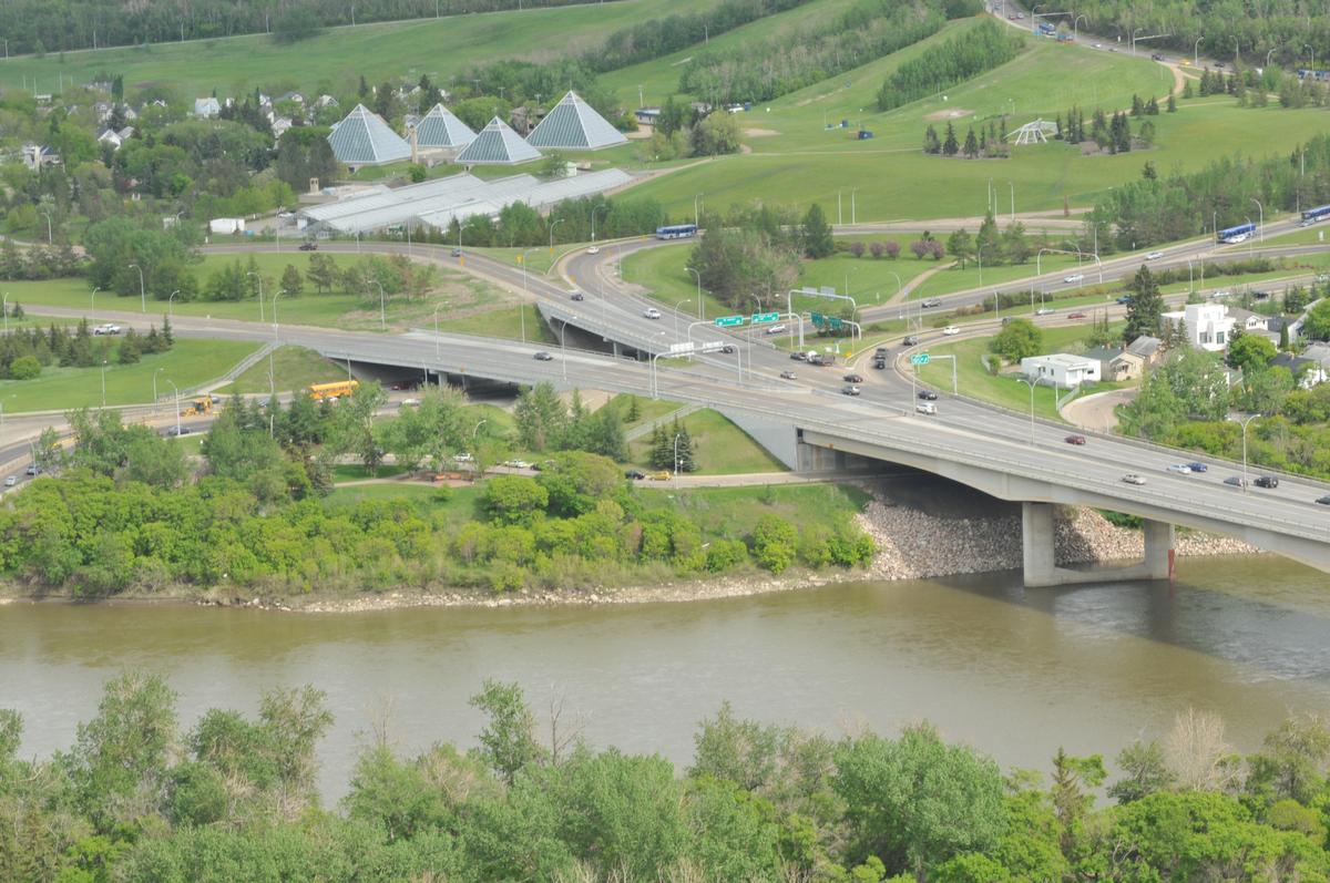
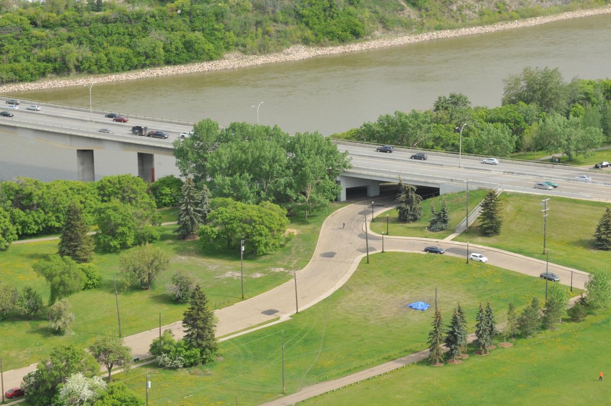
General Information
| Completion: | 1971 |
|---|---|
| Status: | in use |
Project Type
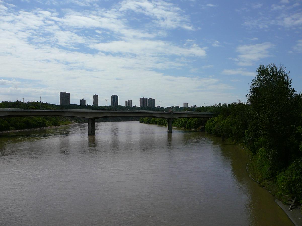
| Structure: |
Girder bridge |
|---|---|
| Function / usage: |
Road bridge |
Location
| Location: |
Edmonton, Alberta, Canada |
|---|---|
| Crosses: |
|
| Coordinates: | 53° 32' 8.59" N 113° 29' 18.48" W |
Technical Information
Dimensions
| length | 359.66 m |
Chronology
| 4 October 1971 | Opening. |
|---|
Participants
Currently there is no information available about persons or companies having participated in this project.
Relevant Web Sites
There currently are no relevant websites listed.
- About this
data sheet - Structure-ID
20011716 - Published on:
07/04/2004 - Last updated on:
05/02/2016
Structurae cooperates with


