
General Information
| Completion: | 1971 |
|---|---|
| Status: | in use |
Project Type
| Structure: |
Three-span suspension bridge |
|---|---|
| Support conditions: |
for registered users |
| Secondary structure(s): |
Structurae Plus/Pro - Subscribe Now! |
| Function / usage: |
Road bridge |
| Material: |
Steel bridge Structurae Plus/Pro - Subscribe Now! Structurae Plus/Pro - Subscribe Now! |
| Plan view: |
Structurae Plus/Pro - Subscribe Now! |
Awards and Distinctions
| 1972 |
Award of Merit
for registered users |
|---|
Location
| Location: |
Orofino, Clearwater County, Idaho, USA |
|---|---|
| Crosses: |
|
| Coordinates: | 46° 36' 8.95" N 116° 10' 43.02" W |
Technical Information
Dimensions
| main span | 320.3 m | |
| total length | 472 m | |
| abutments | number | 2 |
| piers | number | 2 |
| pylons | number | 2 |
Cost
| cost of construction | United States dollar 7 850 000 |
Materials
| deck |
steel
|
|---|---|
| piers |
reinforced concrete
|
| pylons |
steel
|
Excerpt from Wikipedia
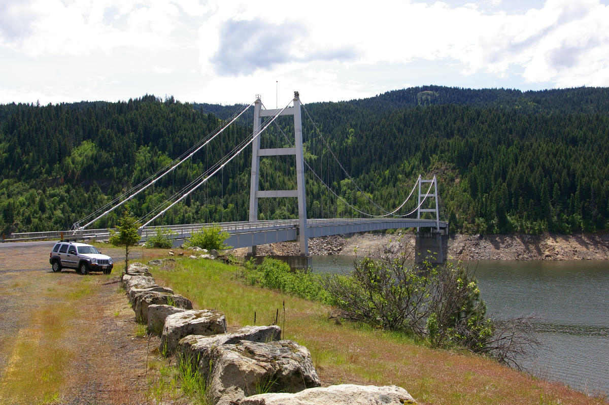
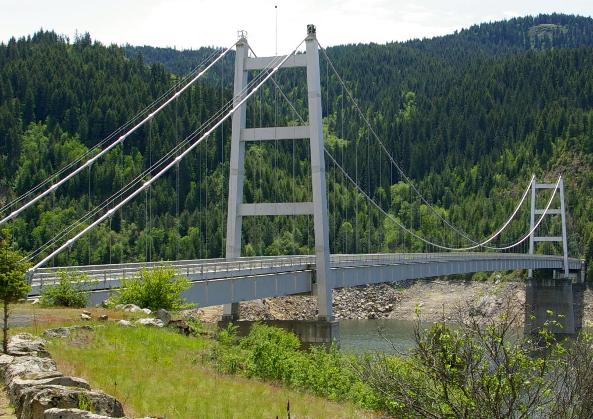
The Dent Bridge is a suspension bridge in the northwest United States, located in north central Idaho in Clearwater County, north of Orofino. It is 17 miles (27 km) up the North Fork of the Clearwater River, now Dworshak Reservoir. Completed 52 years ago in 1971 at a cost of $7,848,950, it has a main span of 1,050 feet (320 m), and an overall length of 1,550 feet (472 m).
History
Built in conjunction with the Dworshak Dam by the U.S. Army Corps of Engineers during the early 1970s, this bridge provides local access over the flooded river, now Dworshak Reservoir. It replaced a smaller bridge which crossed the river prior to the flooding by the reservoir. Without the bridge, vehicle access from Ahsahka to the small community of Elk River would be blocked off. The Corps of Engineers carefully weighed the possibilities for getting traffic to Elk River from the Orofino side of the Clearwater River. Building a new road all the way around the 53-mile (85 km) long reservoir would not only be expensive, cutting into miles and miles of extremely rocky terrain, but would also be a painful inconvenience for travelers. The only reasonable answer was a bridge somewhere in the middle of the future reservoir. The exact location was based on the topography most suitable for road access as well as for the bridge construction itself.
The bridge takes its name from Charles and Katherine Dent, who in 1895 owned land on the western side of where the bridge now stands. The settlement of Dent was razed prior to being flooded by the reservoir.
Text imported from Wikipedia article "Dent Bridge" and modified on 7 December 2023 according to the CC-BY-SA 3.0 license.
Participants
Owner
Design
General contractor
Steel construction

Relevant Web Sites

- About this
data sheet - Structure-ID
20000556 - Published on:
21/11/1999 - Last updated on:
21/10/2023
Structurae cooperates with


