
General Information
| Completion: | 1843 |
|---|---|
| Status: | in use |
Project Type
| Function / usage: |
Lighthouse |
|---|
Location
| Location: |
Dunkirk, Nord (59), Hauts-de-France, France |
|---|---|
| Address: | Route des Ecluses |
| Coordinates: | 51° 2' 56" N 2° 21' 52" E |
Technical Information
Dimensions
| height | 59 m |
Excerpt from Wikipedia
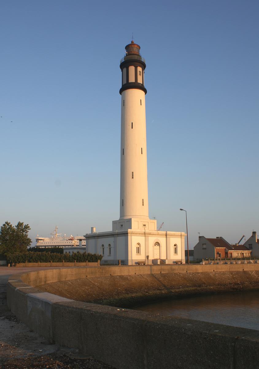
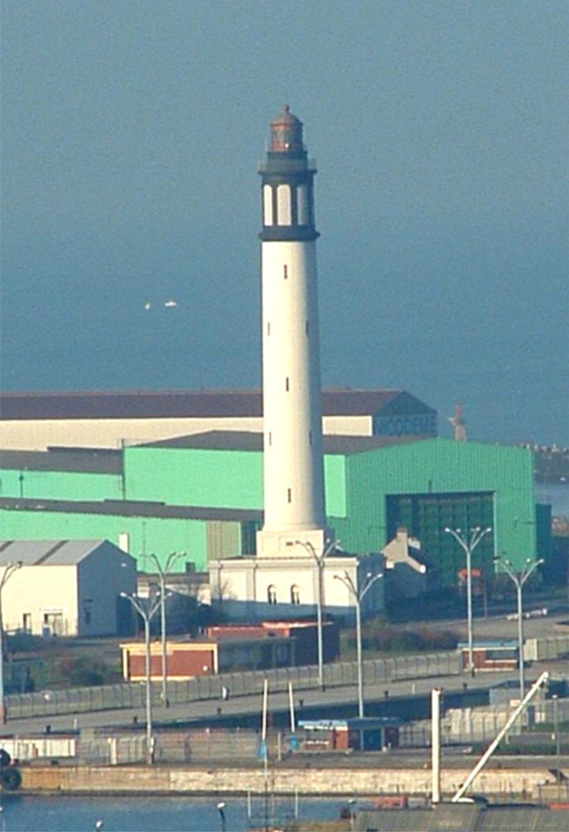
Dunkirk Lighthouse (French: Phare de Dunkerque or Phare de Risban) is an automated first order (i.e. 60 km beam or further) port lighthouse, the highest of this type in France. It is sited near Dunkirk. Construction of the lighthouse was completed in 1843.
Text imported from Wikipedia article "Dunkirk Lighthouse" and modified on 21 February 2022 according to the CC-BY-SA 3.0 license.
Participants
Currently there is no information available about persons or companies having participated in this project.
Relevant Web Sites

- About this
data sheet - Structure-ID
20022604 - Published on:
22/08/2006 - Last updated on:
20/03/2021
Structurae cooperates with


