
General Information
Project Type
| Structure: |
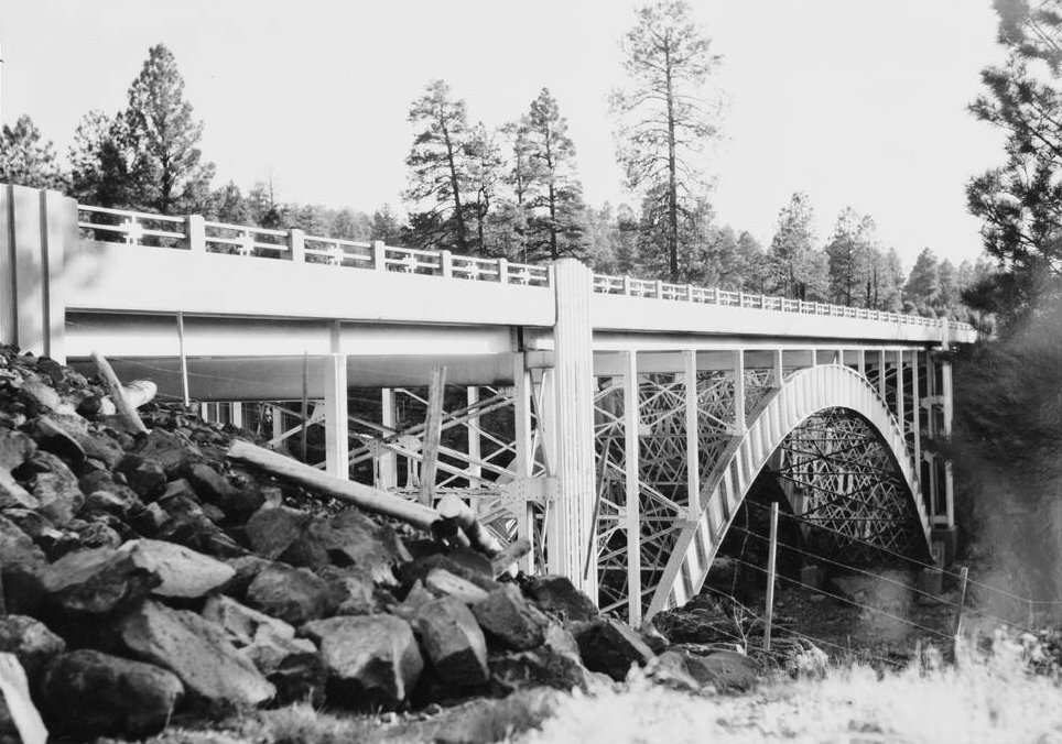
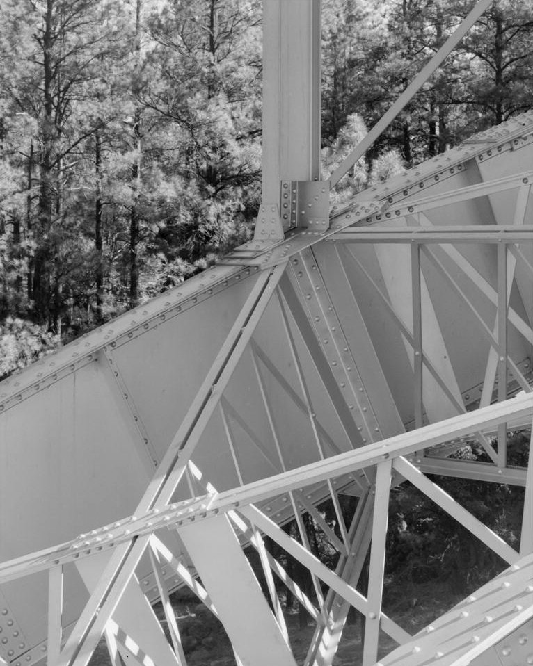
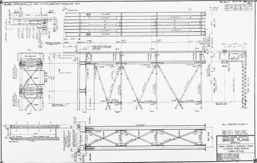
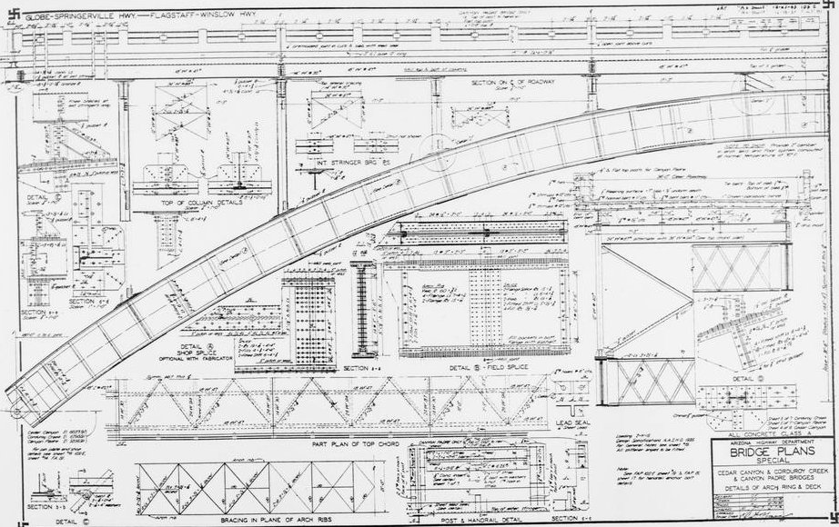
Deck arch bridge Two-hinged arch bridge |
|---|---|
| Support conditions: |
for registered users for registered users |
| Function / usage: |
Road bridge |
| Material: |
Steel bridge |
| Plan view: |
Structurae Plus/Pro - Subscribe Now! |
Location
| Location: |
Show Low, Navajo County, Arizona, USA |
|---|---|
| Carried: |
|
| See also: |
Cedar Canyon Bridge (1937)
|
| Coordinates: | 34° 6' 24.71" N 110° 9' 13.26" W |
Technical Information
Dimensions
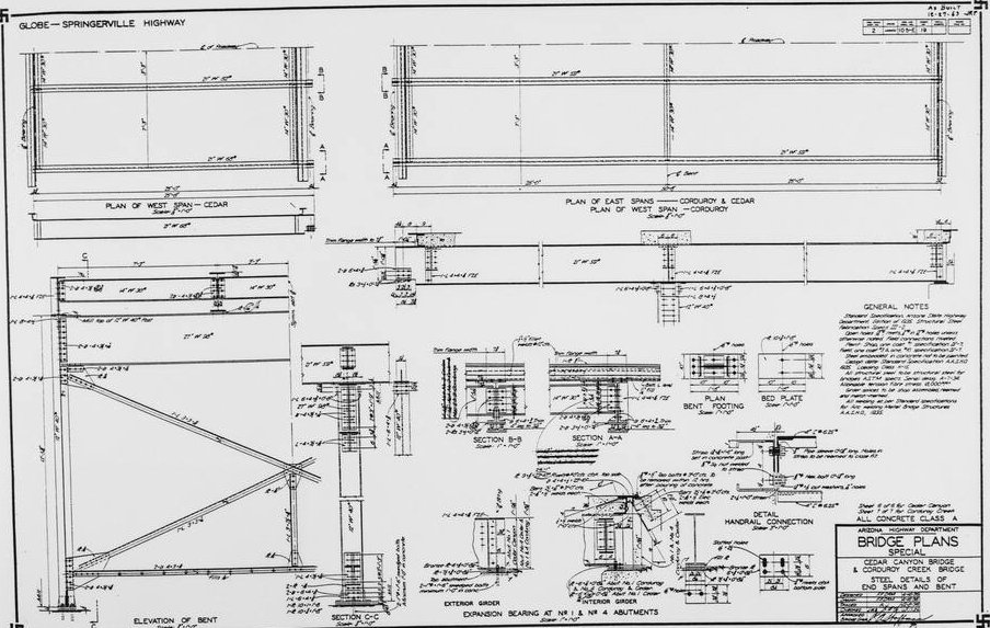
| main span | 54.86 m | |
| total length | 86.2 m | |
| deck width | 15 m |
Materials
| arches |
steel
|
|---|---|
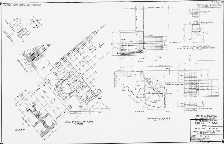
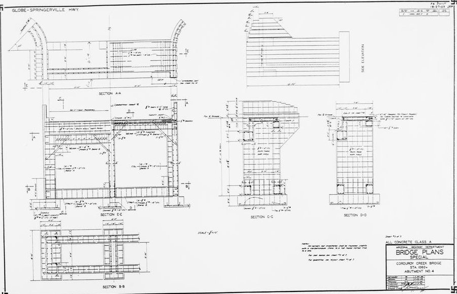
| abutments |
reinforced concrete
|
Chronology
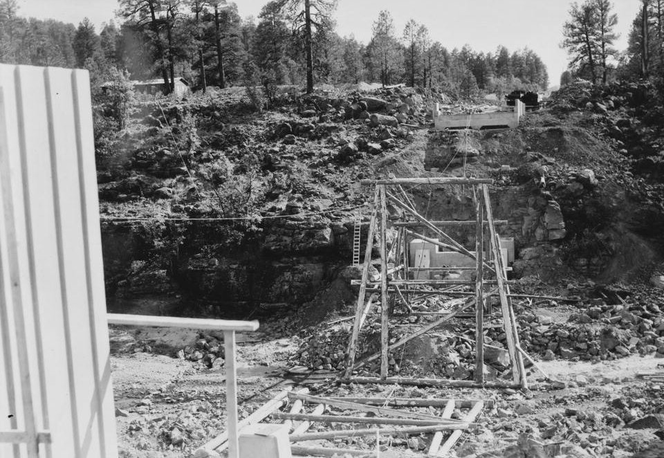
| 1994 | The bridge is dismantled and the arches are used to widen the Cedar Canyon Bridge. |
|---|
Participants
Owner
Design
Contractor
Steel supplier

Relevant Web Sites

- About this
data sheet - Structure-ID
20012222 - Published on:
26/05/2004 - Last updated on:
05/02/2016
Structurae cooperates with


