
General Information
Project Type
| Structure: |
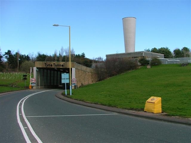
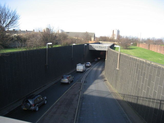
Tunnel |
|---|---|
| Function / usage: |
Road tunnel |
Location
| Location: |
Newcastle upon Tyne, Tyne and Wear, North East England, England, United Kingdom |
|---|---|
| Underneath of: |
|
| Coordinates: | 54° 58' 43.18" N 1° 28' 56.30" W |
| Coordinates: | 54° 59' 33.29" N 1° 29' 14.72" W |
Technical Information
Dimensions
| diameter | 9.53 m | |
| length | 1 645 m |
Cost
| cost of construction | Pound sterling 22 000 000 |
Chronology
| 19 October 1967 | Opened by Queen Elizabeth II. |
|---|---|
| 20 October 1967 | Opened for traffic. |
Participants
Owner
Design
Contractor
Relevant Web Sites
There currently are no relevant websites listed.
Relevant Publications
- : Crossing the Tyne. Tyne Bridge Publishing, Newcastle upon Tyne (United Kingdom), pp. 128.
- El túnel del Tyne – Inglaterra. In: Informes de la Construcción, v. 23, n. 221 (June 1970), pp. 55-75.
- (1968): The Tyne Tunnel: Construction of the Main Tunnel. In: Proceedings of the Institution of Civil Engineers, v. 39, n. 2 (February 1968), pp. 213-234.
- (1968): The Tyne Tunnel: Planning of the Scheme. In: Proceedings of the Institution of Civil Engineers, v. 39, n. 2 (February 1968), pp. 193-212.
- About this
data sheet - Structure-ID
20010487 - Published on:
17/10/2003 - Last updated on:
06/01/2022
Structurae cooperates with


