


General Information
| Other name(s): | Pont aux Anglais |
|---|---|
| Completion: | 1913 |
| Status: | in use |
Project Type
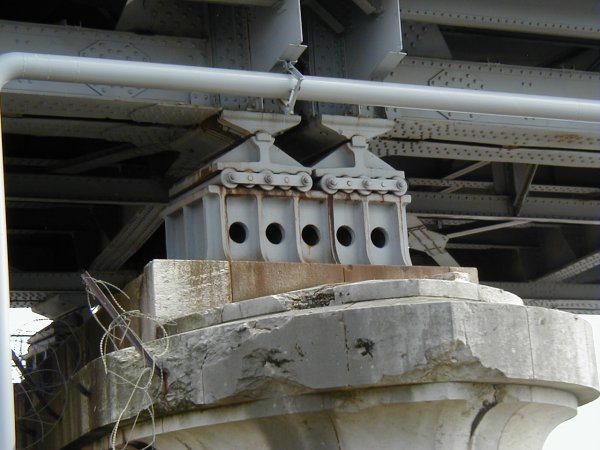
| Structure: |
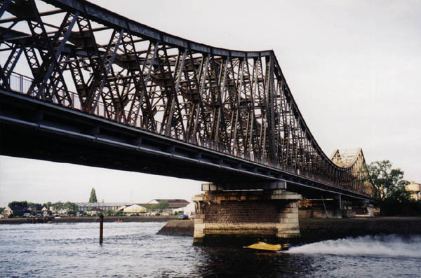
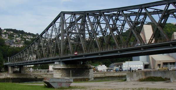
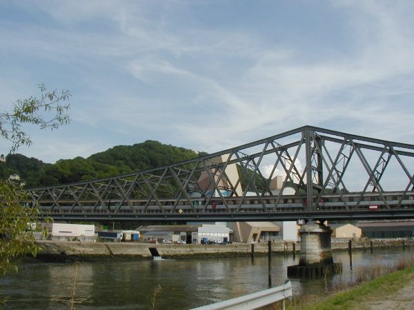
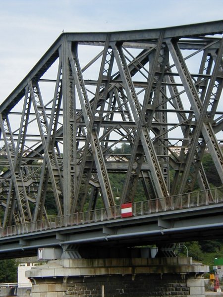
Through truss bridge Double intersection Warren truss bridge |
|---|---|
| Support conditions: |
for registered users |
| Function / usage: |
Railroad (railway) bridge |
| Material: |
Steel bridge |
| Plan view: |
Structurae Plus/Pro - Subscribe Now! |
Location
| Location: |
Sotteville-lès-Rouen, Seine-Maritime (76), Normandy, France Bonsecours, Seine-Maritime (76), Normandy, France |
|---|---|
| Crosses: |
|
| Part of: |
|
| Coordinates: | 49° 25' 36" N 1° 6' 33" E |
Technical Information
Dimensions
| main span | 169 m | |
| total length | 255 m |
Materials
| truss |
steel
|
|---|
Chronology
| 1940 | Partially destroyed. |
|---|---|
| 1944 | Partially destroyed. |
Participants
Currently there is no information available about persons or companies having participated in this project.
Relevant Web Sites
There currently are no relevant websites listed.
Relevant Publications
- L'oeuvre des services de la SNCF et des entreprises françaises. La reconstruction des ouvrages d'art du chemin de fer. Juillet 1940 - juillet 1942. SNCF, Paris (France), 1942, pp. 81-84.
- (1988): Ponts et viaducs au XIXème siècle. Poitiers (France), pp. 234-235.
- La reconstruction du viaduc d'Eauplet sur la Seine. In: Ossature métallique, v. 11 (November 1946), pp. 285-287.
- About this
data sheet - Structure-ID
20002980 - Published on:
10/02/2002 - Last updated on:
05/02/2016
Structurae cooperates with


