
General Information
| Completion: | 21 April 1908 |
|---|---|
| Status: | in use |
Project Type
| Structure: |
Underground structure |
|---|---|
| Function / usage: |
Below grade metro or light-rail station |
Location
| Location: |
Paris (18th), Paris, Ile-de-France, France |
|---|---|
| Part of: | |
| Coordinates: | 48° 53' 13.77" N 2° 20' 57.99" E |
Technical Information
There currently is no technical data available.
Excerpt from Wikipedia
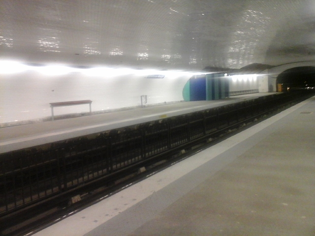
Château Rouge is a station of the Paris Métro, serving Line 4 in the 18th arrondissement of Paris.
The station was opened on 21 April 1908 as part of the first section of the line from Châtelet to Porte de Clignancourt. The station is named for the Place du Château Rouge, named for a handsome residence of red bricks built nearby in 1760 and demolished in 1875. The nearby Goutte d'Or district is a very vibrant and multicultural area and the Rue Dejean street market operates every day except Monday.
Text imported from Wikipedia article "Château Rouge (Paris Métro)" and modified on 23 July 2019 under the CC-BY-SA 3.0 license.
Participants
Currently there is no information available about persons or companies having participated in this project.
Relevant Web Sites

- About this
data sheet - Structure-ID
20051503 - Published on:
08/01/2010 - Last updated on:
25/01/2022
Structurae cooperates with


