
General Information
| Other name(s): | Saint Paul's Bridge |
|---|---|
| Completion: | 1864 |
| Status: | demolished |
Project Type
| Function / usage: |
Railroad (railway) bridge |
|---|
Location
| Location: |
City of London, London, England, United Kingdom Southwark, London, England, United Kingdom |
|---|---|
| Crosses: |
|
| Next to: |
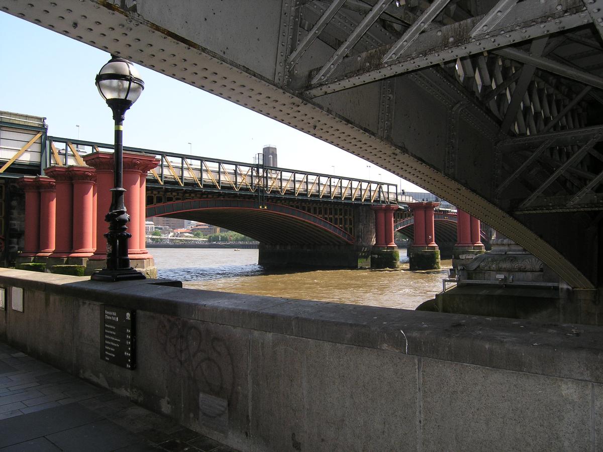
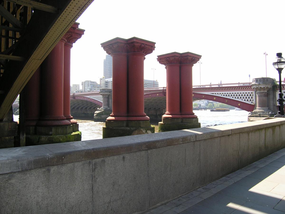
Blackfriars Railway Bridge (1886)
|
| Coordinates: | 51° 30' 35.67" N 0° 6' 13" W |
Technical Information
There currently is no technical data available.
Notes
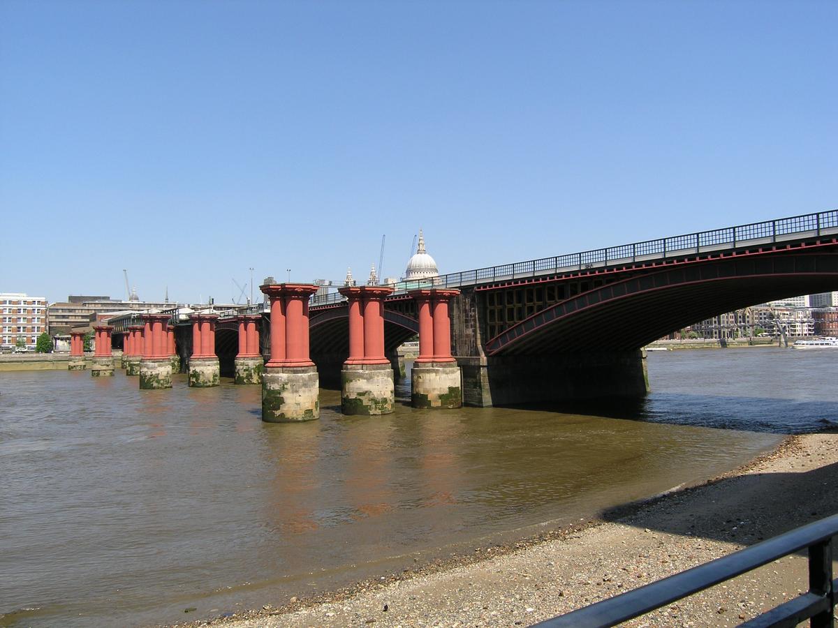
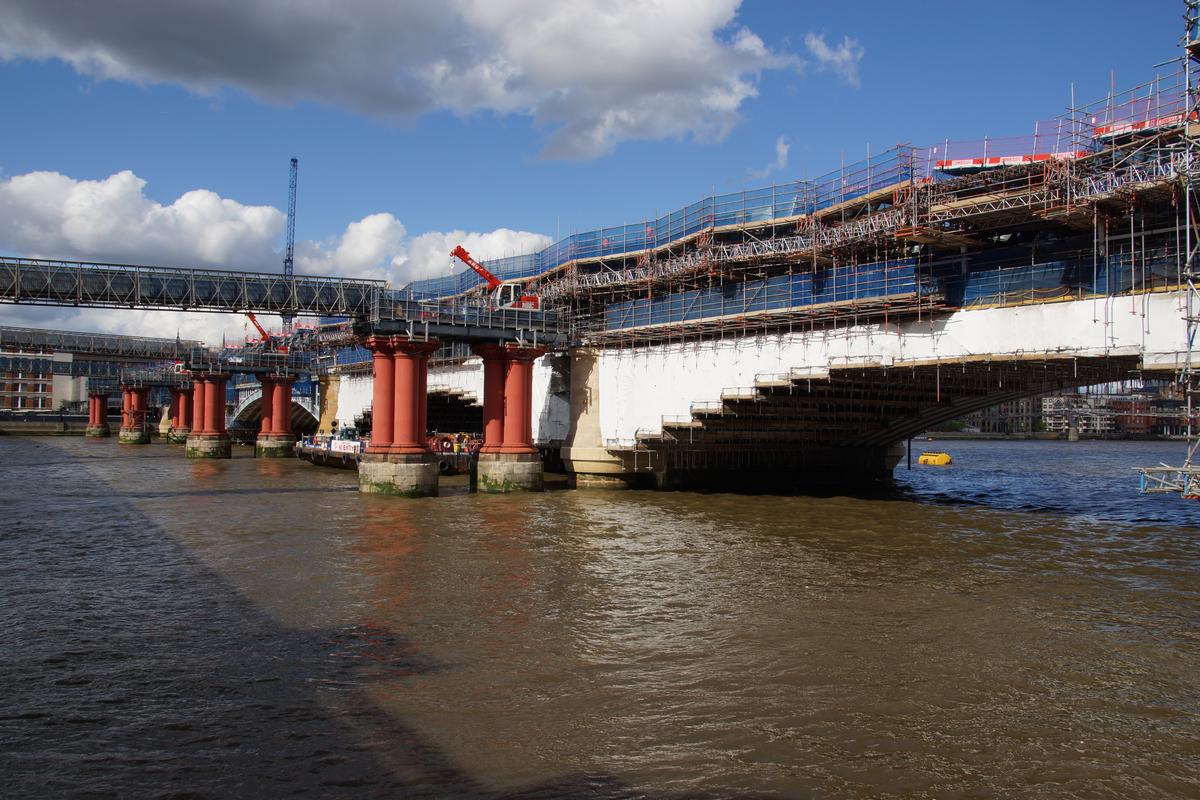
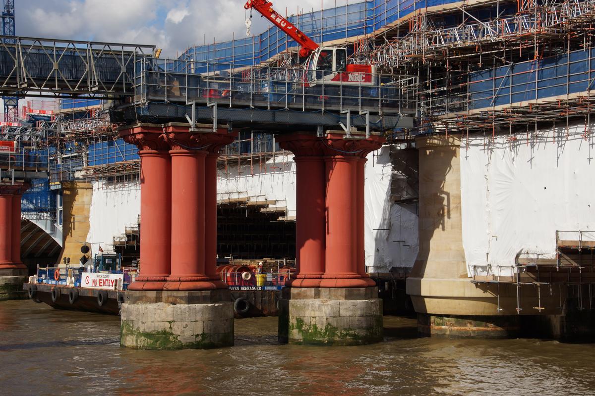
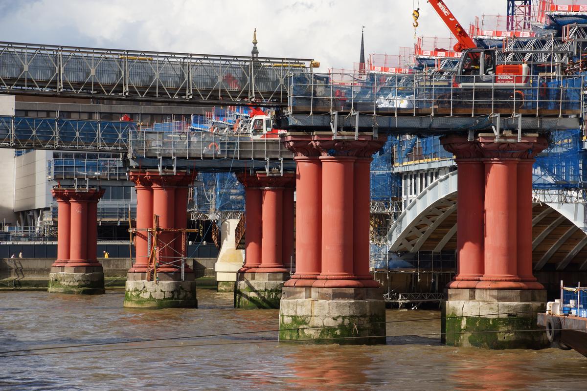
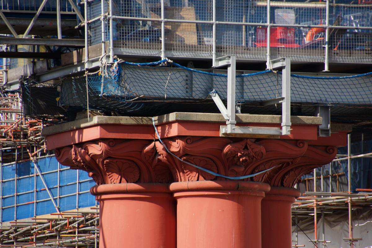
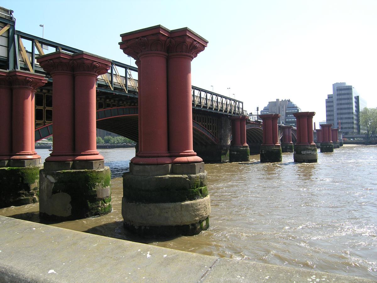
Only the piers remain.
Built for the London, Chatham and Dover Railway, the coat-of-arms of which remain, in very large form, on the south side of the river.
Participants
Design
- Joseph Cubitt (designer)
Relevant Web Sites

- About this
data sheet - Structure-ID
20003161 - Published on:
23/02/2002 - Last updated on:
05/02/2016
Structurae cooperates with


