

General Information
| Name in local language: | Pont d'Aquitaine |
|---|---|
| Beginning of works: | 1960 |
| Completion: | 6 May 1967 |
| Status: | in use |
Project Type
| Structure: |
Three-span suspension bridge |
|---|---|
| Support conditions: |
for registered users |
| Secondary structure(s): |
Structurae Plus/Pro - Subscribe Now! |
| Function / usage: |
Road bridge |
| Material: |
Steel bridge Structurae Plus/Pro - Subscribe Now! Structurae Plus/Pro - Subscribe Now! |
Location
| Location: |
Bordeaux, Gironde (33), Nouvelle-Aquitaine, France |
|---|---|
| Crosses: |
|
| Coordinates: | 44° 52' 47" N 0° 32' 12" W |
Technical Information
Dimensions
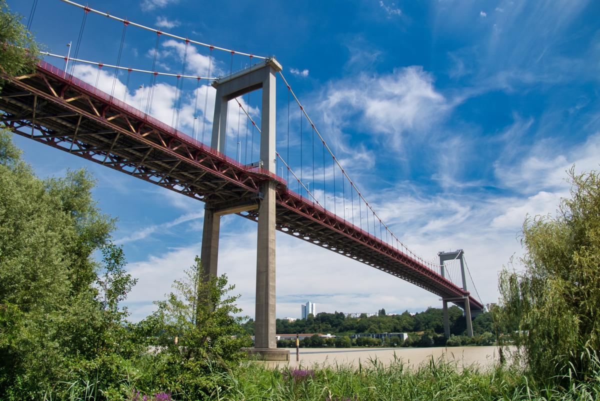
| main span | 393.7 m | |
| length of side spans | 143 m | |
| total length | 1 767 m | |
| deck | deck width | 20.90 m |
| height above valley floor or water | 58 m | |
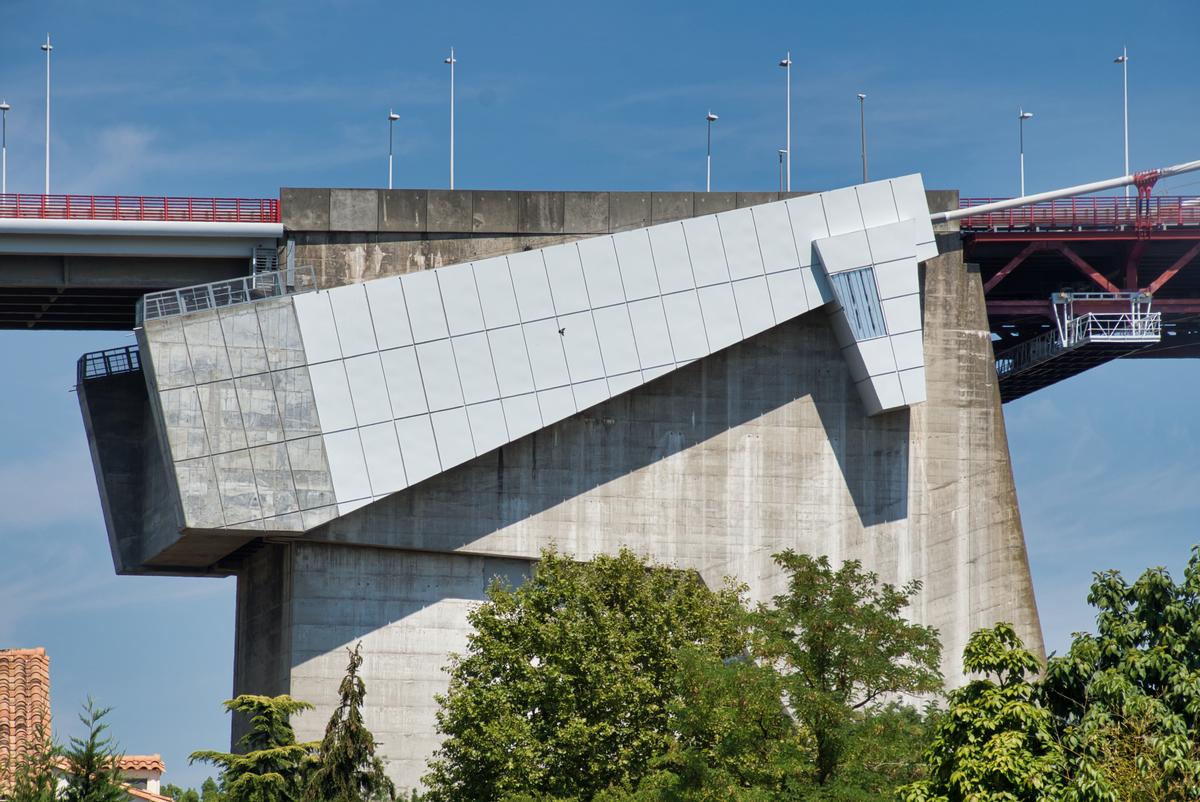
| pylons | pylon height | 105 m |
Materials
| cables |
steel
|
|---|---|
| pylons |
reinforced concrete
|
| deck truss |
steel
|
| deck of approach viaducts |
precast prestressed concrete
|
Excerpt from Wikipedia
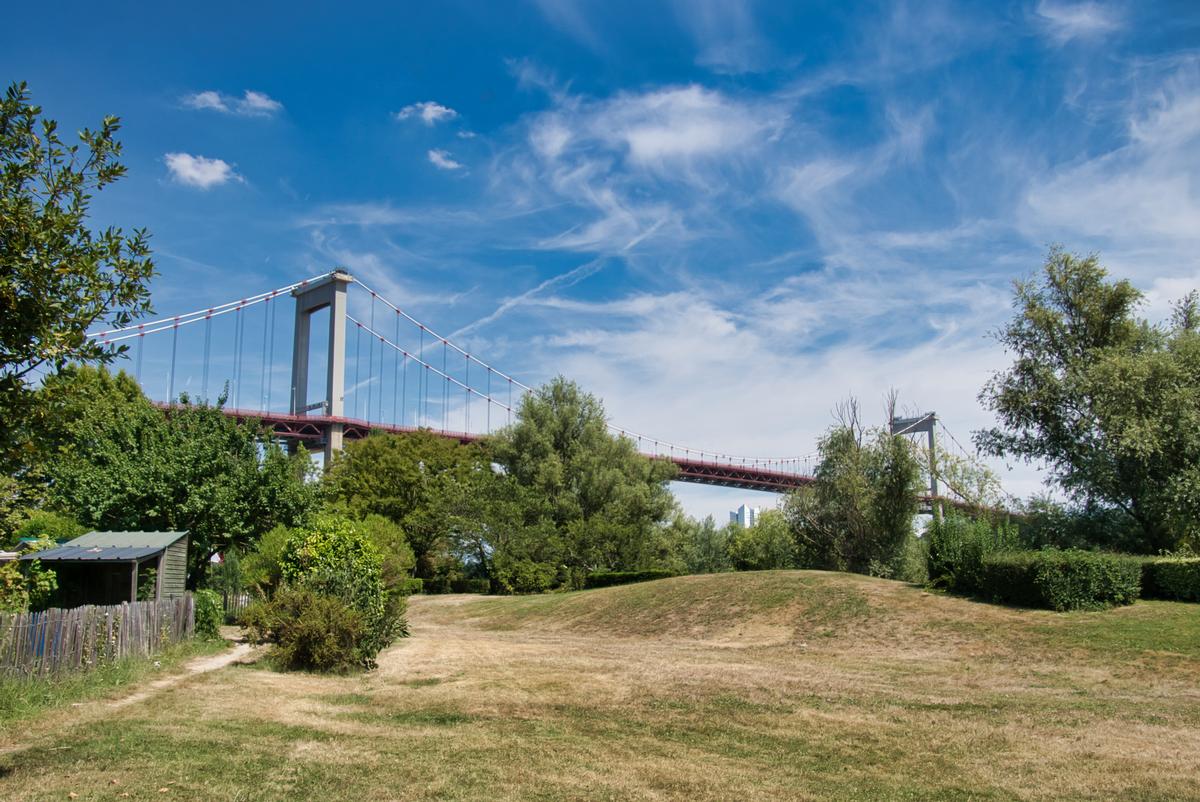
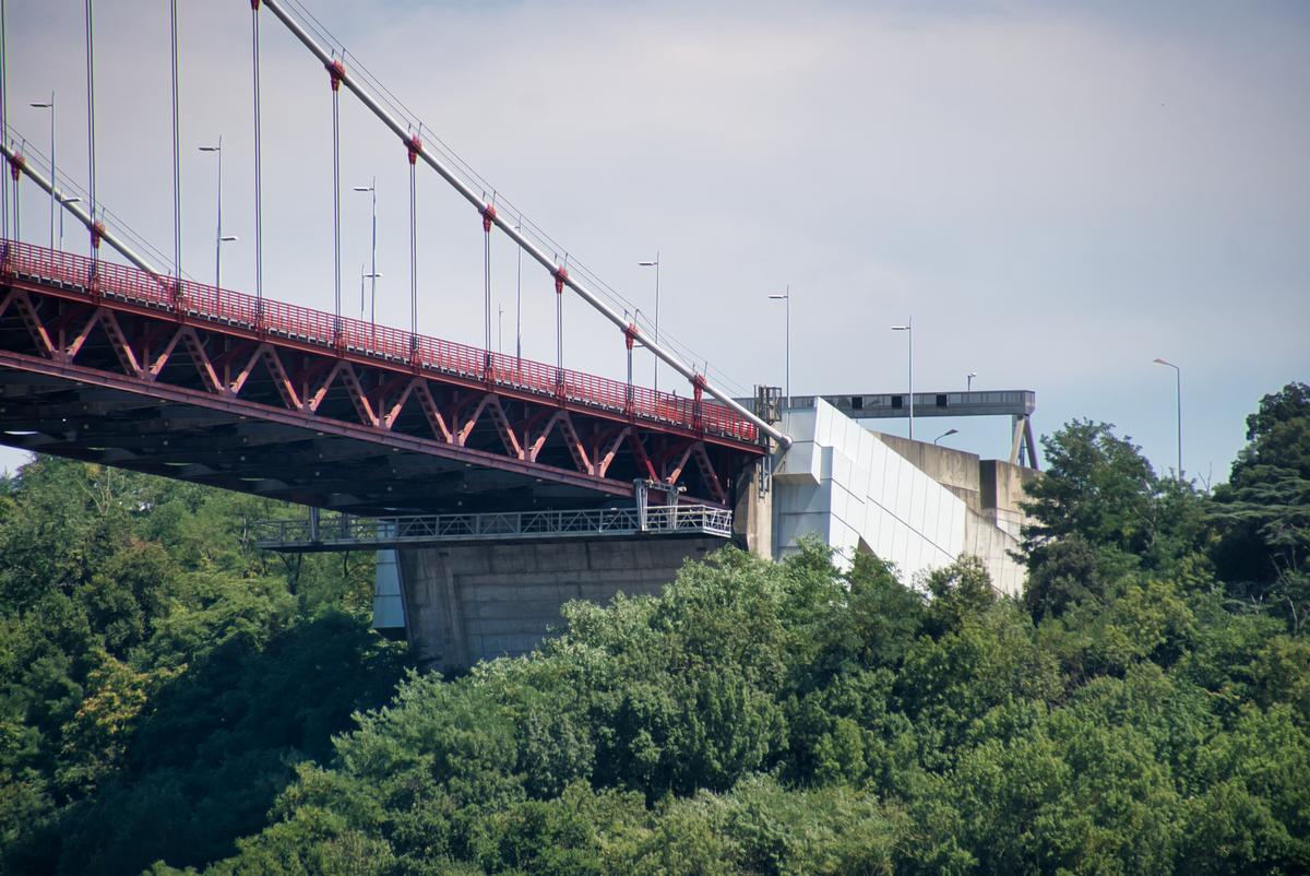
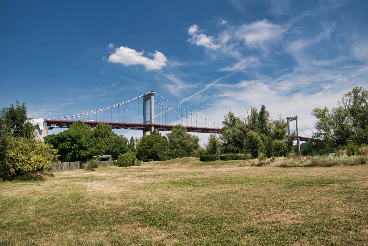
The Pont d'Aquitaine is a large suspension bridge over the Garonne, north-west of the city of Bordeaux, in France. It forms part of the ring-road of Bordeaux and carries the A630 autoroute. It was completed in 1967 and its main span is 394 m (1,293 ft) long.
The eastern and western aspects of the bridge are dramatically different. To the east there is a ridge of land which allows the roadway to enter the bridge with little or no slope. By contrast, to the west there is an area of flat land, forming part of the Medoc, which means the roadway across the bridge slopes dramatically upwards in order to gain sufficient height to enter the bridge.
Text imported from Wikipedia article "Pont d'Aquitaine"
and modified on 22 July 2019 under the CC-BY-SA 3.0 license.
Participants
Owner
Client
Construction
Renovation
Co-contractor
Suspension system replacement (2004)
Cable steel supplier

Hydraulics
Relevant Web Sites


Relevant Publications
- (2009): Bâteaux, ponts métalliques construits aux Chantiers Schneider. 1839-1972 - 133 ans dans l'histoire industrielle de Chalon-sur-Saône. Université pour Tous de Bourgeogne, Chalon-sur-Saône (France), pp. 193.
- (1992): Changement du joint de chaussée sur pylône rive gauche du pont suspendu d'Aquitaine. In: Ouvrages d'art, n. 11 (January 1992), pp. 16-20.
- (1968): La construction mixte acier béton appliquée aux ponts. OTUA, Paris-La Défense (France), pp. 306.
- (1990): Les grands ponts du monde: Ponts remarquables d'Europe. Brissaud, Poitiers (France), pp. 428.
- Journée du 18 mai 2006. Elargissement du franchissement d'Aquitaine à Bordeaux. In: Bulletin annuel de l'AFGC, n. 9 ( 2007), pp. 169-177.
- About this
data sheet - Structure-ID
20002850 - Published on:
03/02/2002 - Last updated on:
29/03/2021
Structurae cooperates with


